Other ID: none
Status: Completed
Organization(s): USGS, Woods Hole Coastal and Marine Science Center
Funding Program(s):
Principal Investigator(s): Richard Signell
Affiliate Investigator(s):
Information Specialist(s):
Data Type(s): Time Series: Mooring (physical oceanography)
Scientific Purpose/Goals: Deploy mooring #418 by hand on a piling at USCG station, McKown Pt., Boothbay Harbor, Maine.
Vehicle(s):
Start Port/Location: McKown Point, Boothbay Harbor, ME
End Port/Location: McKown Point, Boothbay Harbor, ME
Start Date: 1993-04-01
End Date: 1993-04-01
Equipment Used: Bottom platform
Information to be Derived: Time series data;
Summary of Activity and Data Gathered: Deployed tide gauge by hand at USCG station, McKown Pt., Boothbay Harbor, ME. Mooring deployed: 1 (#418, recovered by hand FA 93033 Apr. 2, 1993).
Staff:
Affiliate Staff:
Notes:
Location:
McKown Point, Boothbay Harbor, Maine, United States, North America, North Atlantic;
| Boundaries | |||
|---|---|---|---|
| North: 43.80391966 | South: 43.79817944 | West: -69.6064417 | East: -69.59859978 |
Platform(s):
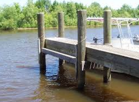 Piling |
| Survey Equipment | Survey Info | Data Type(s) | Data Collected |
|---|---|---|---|
| Bottom platform | --- | Mooring (physical oceanography) | 1993-032-FA-OM-001 (ECOHAB I mooring data) |
