Other ID: none
Status: Completed
Organization(s): USGS, Woods Hole Coastal and Marine Science Center
Funding Program(s): Hurricane Sandy - Estuarine Response to Storm Forcing (AE03FKD)
Principal Investigator(s): Neil Kamal Ganju
Affiliate Investigator(s): Jeremy Testa (UMCES-CBL) Nicholas Nidzieko (UMCES-HPL)
Information Specialist(s): Steven Suttles
Data Type(s): Location-Elevation: Navigation, Sampling: Chemistry
Scientific Purpose/Goals: Turnaround already deployed instruments to collect time series data to make evaluations of sediment transport, water quality, geomorphic change, circulation, and wetland stability. This will support development of models of storm impacts on estuarine health, vulnerability of adjacent communities, and sustainability of restored and natural wetlands.
Vehicle(s):
Start Port/Location: Falmouth, MA
End Port/Location: Greenbackville, VA
Start Date: 2015-01-17
End Date: 2015-01-31
Equipment Used: Garmin GPS 76, Water sampler
Information to be Derived: Currents, waves, water level, water temperature, salinity, turbidity, Chla-fluoroscence, fDom, pH, bed altitude change, suspended sediment concentration.
Summary of Activity and Data Gathered: Currents, waves, water level, water temperature, salinity, turbidity, Chla-fluoroscence, fDom, pH, bed altitude change, suspended sediment concentration.
Staff: Sandra Brosnahan, Patrick Dickhudt, Neil Kamal Ganju, Steven Suttles
Affiliate Staff:
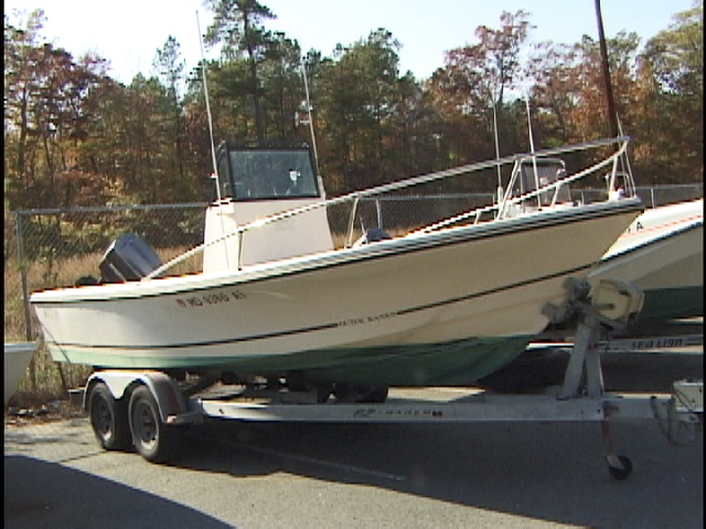
Notes: Platform(s)- UMCES-HPL 18' C-Hawk or 21' Wetsig;
Vehicle(s)- USGS Pick-up Truck and USGS Suburban;
Entries for this field activity are based on entries from Field Activity 2014-048-FA (all time series data will be associated with this previous FA).
Entries for this field activity are based on entries from Field Activity 2014-061-FA
Location:
Chincoteague Bay, Virginia, United States, Chincoteague Bay, Maryland, United States
| Boundaries | |||
|---|---|---|---|
| North: 38.36 | South: 37.819 | West: -75.479 | East: -75.079 |
Platform(s):
 UMECS-21ft Wetzig |
Nowacki, D.J., Beudin, A., Ganju, N.K., 2017, Spectral wave dissipation by submerged aquatic vegetation in a back-barrier estuary: Limnology and Oceanography, v. 62, no. 2, p. 736-753, https://doi.org/10.1002/lno.10456.
Suttles, S.E., Ganju, N.K., Brosnahan, S.M., Montgomery, E.T., Dickhudt, P.J., Beudin, A., Nowacki, D.J., and Martini, M.A., 2017, Summary of oceanographic and water-quality measurements in Chincoteague Bay, Maryland and Virginia, 2014–15: U.S. Geological Survey Open-File Report 2017–1032, 95 p., https://doi.org/10.3133/ofr20171032.
Suttles, S.E., Ganju, N.K., Brosnahan, S.M., Montgomery, E.T., Dickhudt, P.J., Borden, Jonathan, and Martini, M.A., 2016, Oceanographic and water-quality measurements in Chincoteague Bay, Maryland/Virginia, 2014 - 2015: U.S. Geological Survey data release, https://doi.org/10.5066/F7DF6PBV.
Suttles, S.E., Ganju, N.K, Montgomery, E.T., Dickhudt, P.J., Borden, Jonathan., Brosnahan, S.M., and Martini, M.A., 2016, Summary of oceanographic and water-quality measurements in Barnegat Bay, New Jersey, 2014–15: U.S. Geological Survey Open-File Report 2016–1149, 22 p., http://dx.doi.org/10.3133/ofr20161149.
| Survey Equipment | Survey Info | Data Type(s) | Data Collected |
|---|---|---|---|
| Garmin GPS 76 | --- | Navigation | |
| Water sampler | --- | Chemistry |
