Other ID: B-1-01-FL , SFWMD_canal_survey
Status: Completed
Organization(s): USGS, St. Petersburg Coastal and Marine Science Center
Funding Program(s): Other (Other)
Principal Investigator(s): James Flocks, Jack Kindinger
Affiliate Investigator(s):
Information Specialist(s):
Data Type(s): Location-Elevation: Navigation, Seismics: Boomer
Scientific Purpose/Goals: Evaluate geology in relation to possible aquifer storage and recovery
Vehicle(s):
Start Port/Location: Miami, FL
End Port/Location: Miami, FL
Start Date: 2001-11-14
End Date: 2001-11-15
Equipment Used: GPS , EG&G Geopulse, ITI ST-5 streamer
Information to be Derived: Boomer Seismic Reflection Profiles
Summary of Activity and Data Gathered:
Staff:
Affiliate Staff:
Notes: WGS84
Using Generac 4000 generator for PC/Power Supply. Used 16' Johnboat.
Location:
Miami Canals, Florida
| Boundaries | |||
|---|---|---|---|
| North: 25.9642 | South: 25.76121 | West: -80.5538 | East: -80.31736 |
Platform(s):
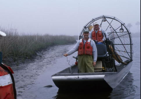 Airboat |
Calderon, K., Dadisman, S.V., Kindinger, J.L., Wiese, D.S., Flocks, J.G., 2002, Archive of boomer seismic reflection data collected during USGS field activities 01ASR01, 01ASR02, 02ASR01, and 02ASR02, Miami, Florida, November 2001 - January 2002: U.S. Geological Survey Open-File Report 2002-408, https://doi.org/10.3133/ofr02408.
FAN 01ASR01 has data viewable in the GeoMappApp/Virtual Ocean applications. To view this data in these applications go to http://www.geomapapp.org/ and http://www.virtualocean.org/. See the instructions for locating USGS data in these applications. You can also view the imagery created from the SEGY data at https://cmgds.marine.usgs.gov/images.php?cruise=01ASR01.
| Survey Equipment | Survey Info | Data Type(s) | Data Collected |
|---|---|---|---|
| GPS | --- | Navigation | 500-SHOT INTERVAL NAVIGATION EDITED SHOTPOINT NAVIGATION |
| EG&G Geopulse | --- | Boomer Sub Bottom Profiler | |
| ITI ST-5 streamer | --- | Air Gun / Water Gun Boomer Sparker | Boomer seismic data |
