Other ID: H20070726
Status: Completed
Organization(s): USGS, St. Petersburg Coastal and Marine Science Center
Funding Program(s):
Principal Investigator(s): M. Dennis Krohn
Affiliate Investigator(s):
Information Specialist(s): Lance Thornton
Data Type(s): Imagery: Photo, Imagery: Video, Location-Elevation: Navigation
Scientific Purpose/Goals: Baseline Oblique Aerial Photos, Chandeleurs Islands, LA and and Dauphin Island, AL
Vehicle(s):
Start Port/Location: USCG Mobile Air Station, Mobile, AL
End Port/Location: USCG Mobile Air Station, Mobile, AL
Start Date: 2007-07-26
End Date: 2007-07-27
Equipment Used: Digital Camera, Digital Video, Global Positioning System (GPS), Video Camera
Information to be Derived: Baseline Oblique Aerial Photos, Chandeleurs Islands, LA and and Dauphin Island, AL
Summary of Activity and Data Gathered: Baseline Oblique Aerial Photos, Chandeleurs Islands, LA and and Dauphin Island, AL
Staff: M. Dennis Krohn, Lance Thornton
Affiliate Staff:
Notes: Ann Marie Ascough was also on this flight. A bad cable resulted in the video being recorded in black and white. Also, no GPS was collected in Fugawi on 2007-07-27 due to operator error. A GPS track line was derived by extracting the Lat/Long from the EXIF header information in the photos.
Location:
Chandeleurs Islands, LA and and Dauphin Island, AL
| Boundaries | |||
|---|---|---|---|
| North: 30.41992712 | South: 29.36204368 | West: -89.1307 | East: -86.49391527 |
Platform(s):
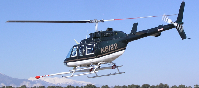 Helicopter (SP) |
Morgan, K.L.M., Thornton, L., 2018, Baseline coastal oblique aerial photographs collected from Dauphin Island, Alabama, to Breton Island, Louisiana, July 26â27, 2007: U.S. Geological Survey data release, https://doi.org/10.5066/F7FJ2G2M.
FAN 07CCH01 has data viewable in the CMGP Video and Photograph Portal. View the data in this application here. See the instructions for working with this application.
| Survey Equipment | Survey Info | Data Type(s) | Data Collected |
|---|---|---|---|
| Digital Camera | --- | Photo Video | 07CCH01_...zip (Images divided into folders by area and flight path segment) |
| Digital Video | --- | Video | |
| Global Positioning System (GPS) | --- | Navigation | 07CCH01-ProcessedNav (Processed navigation files, includes flightpath and photo locations) 07CCH01-RawGPSNav (Garmin GPSMAP 60CSx raw navigation file) |
| Video Camera | --- | Video |
