Other ID: This represents a portion of Task 9 of BASIS+ project 2090B6J
Status: Completed
Organization(s): U.S. National Park Service, U.S. Army Corps of Engineers, Jacksonville District, USGS, St. Petersburg Coastal and Marine Science Center
Funding Program(s):
Principal Investigator(s): Gordon Anderson, Karen Balentine, Thomas Smith
Affiliate Investigator(s):
Information Specialist(s): Ginger Range
Data Type(s): Location-Elevation: Profiles
Scientific Purpose/Goals: Characterize the surface elevation changes of wetlands in the coastal Everglades in relation to hydrology, disturbance and vegetation dynamics.
Vehicle(s):
Start Port/Location: Various, all within Everglades NP
End Port/Location: Various, all within Everglades NP
Start Date: 2008-10-01
End Date: 2009-09-30
Equipment Used: Other
Information to be Derived: Patterns of wetland surface elevation change over time in relation to environmental variables.
Summary of Activity and Data Gathered: This task of the project collects quarterly measure of wetland surface elevation change at nine sites along two drainages in the coastal Everglades: the Lostman's River and the Shark River. Sites vary from freshwater wetlands (in headwater areas) to mangrove forests in downstream, tidal regions.
Staff: Gordon Anderson, Karen Balentine, Ginger Range, Thomas Smith
Affiliate Staff:
Notes: Collects quarterly measure of wetland surface elevation change at nine sites along two drainages in the coastal Everglades. Additional equipment: Deep, mid-level and shallow surface elevation tables, feldspar marker horizons. Additional platform: Chevy Silverado (GSA lease)
Location:
Everglades National Park and Ten Thousand Islands National Wildlife Refuge, FL
| Boundaries | |||
|---|---|---|---|
| North: 25.57953928 | South: 24.82997024 | West: -81.4732 | East: -80.29762604 |
Platform(s):
25-ft Parker | 19-ft SeaCraft | 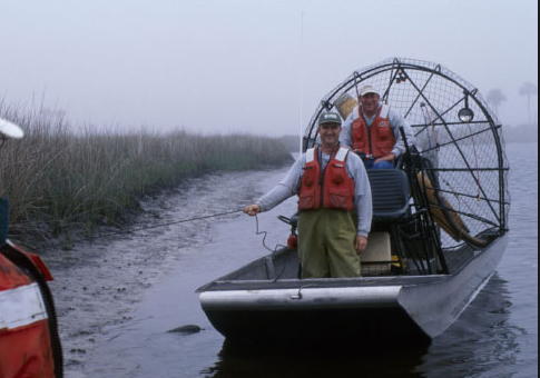 Airboat | 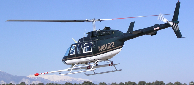 Helicopter (SP) |
| Survey Equipment | Survey Info | Data Type(s) | Data Collected |
|---|---|---|---|
| Other | --- | --- | --- |
