Other ID: none
Status: Completed
Organization(s): USGS, St. Petersburg Coastal and Marine Science Center
Funding Program(s):
Principal Investigator(s): Jack Kindinger, Jennifer Miselis
Affiliate Investigator(s):
Information Specialist(s): Billy Reynolds
Data Type(s): Imagery: Photo, Location-Elevation: Navigation, Location-Elevation: Profiles, Location-Elevation: Transects, Sonar: Single Beam
Scientific Purpose/Goals: Geomorphology, Geology, Island Evolution
Vehicle(s):
Start Port/Location: Pass Christian, MS or Gulfport, MS
End Port/Location: Pass Christian, MS or Gulfport, MS
Start Date: 2010-09-15
End Date: 2010-09-22
Equipment Used: Choke Ring Antenna, Marimatech Echosounder, TSS DMS-05 Motion Sensor, Ashtech Z-Xtreme DGPS, Camera, Digital, Hand Held
Information to be Derived: Single beam bathymetry (X, Y, Z) data. Geologic framework to determine the island geomorphology, stratigraphy and geologic history.
Summary of Activity and Data Gathered:
Staff: Billy Reynolds
Affiliate Staff:
Notes:
Location:
Mississippi Barrier Islands, Gulf of Mexico
| Boundaries | |||
|---|---|---|---|
| North: 30.3683334 | South: 30.15900458 | West: -89.4493 | East: -88.51539931 |
Platform(s):
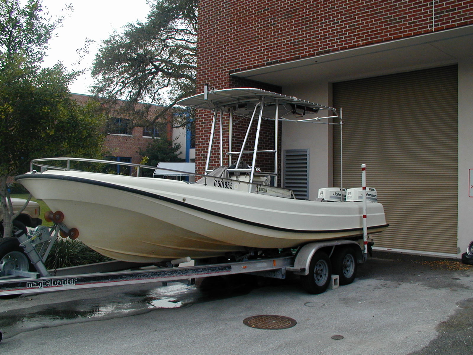
 Streeterville |
Buster, N.A., Pfeiffer, W.R., Miselis, J.L., Kindinger, J.L., Wiese, D.S., Reynolds, B.J., 2012, Bathymetry and acoustic backscatter data collected in 2010 from Cat Island, Mississippi: U.S. Geological Survey Data Series 739, https://doi.org/10.3133/ds739.
Kindinger, J.L., Miselis, J.L., Buster, N.A., 2014, The shallow stratigraphy and sand resources offshore from Cat Island, Mississippi: U.S. Geological Survey Open-File Report 2014-1070, 83 p., https://doi.org/10.3133/ofr20141070.
Miselis, J.L., Buster, N.A., Kindinger, J.L., 2014, Refining the link between the Holocene development of the Mississippi River Delta and the geologic evolution of Cat Island, MS: implications for delta-associated barrier islands: Marine Geology, v. 355, pp. 274–290, doi: 10.1016/j.margeo.2014.05.021.
| Survey Equipment | Survey Info | Data Type(s) | Data Collected |
|---|---|---|---|
| Choke Ring Antenna | --- | Benchmarks Navigation | No data was collected |
| Marimatech Echosounder | --- | Single Beam | CatIsland_2010_Bathy_NAVD88_grid (Single-beam bathymetry grid as GeoTiff) CatIsland_2010_GIS_Bathy_DataSeries_2012_739 (Data Series 739 GIS dataset) 10BIM05-BA-pd-2 (Single-beam bathymetry grid in ascii format) |
| TSS DMS-05 Motion Sensor | --- | Interferometric Single Beam | No data was collected |
| Ashtech Z-Xtreme DGPS | --- | Benchmarks Navigation | 10BIM05-BA-pd-4 (Single-beam bathymetry trackline shapefile) |
| Camera, Digital, Hand Held | --- | Photo |