Other ID: none
Status: Completed
Organization(s): USGS, St. Petersburg Coastal and Marine Science Center
Funding Program(s):
Principal Investigator(s): Kristen Hart
Affiliate Investigator(s):
Information Specialist(s): Kristen Hart
Data Type(s): Imagery: Photo, Location-Elevation: Navigation
Scientific Purpose/Goals: Servicing 7 acoustic receivers, tag nesting female sea turtles with satellite tags, conduct rodeo captures to tag sub-adult and adult sea turtles, tag juvenile sea turtles, conduct benthic habitat characterization by diving in key turtle hotspots of activity
Vehicle(s):
Start Port/Location: Key West, FL
End Port/Location: Key west, FL
Start Date: 2011-05-16
End Date: 2011-05-26
Equipment Used: Camera, Digital, Hand Held, Digital Camera, Garmin GPS
Information to be Derived: Animals that moved through zones where acoustic receivers are located, collect biological samples from tagged turtles, deploy satellite tags on turtles to begin to track their daily movements in and around the Tortugas.
Summary of Activity and Data Gathered:
Staff: Keith Ludwig
Affiliate Staff:
Notes: Additional Equipment Used: Laptop, Self-Contained Underwater Breathing Apparatus (SCUBA)
Platform: R/V Carretta (USGS Gainesville 25-ft Dorado)
Location:
Dry Tortugas, FL
| Boundaries | |||
|---|---|---|---|
| North: 24.66599406 | South: 24.5802161 | West: -82.9391 | East: -82.82165167 |
Platform(s):
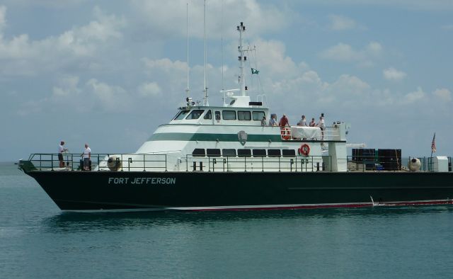 Fort Jefferson |
| Survey Equipment | Survey Info | Data Type(s) | Data Collected |
|---|---|---|---|
| Camera, Digital, Hand Held | --- | Photo | |
| Digital Camera | --- | Photo Video | |
| Garmin GPS | --- | Navigation |
