Other ID: BIER-Geophysics
Status: Completed
Organization(s): USGS, St. Petersburg Coastal and Marine Science Center
Funding Program(s):
Principal Investigator(s): James Flocks, Jennifer Miselis
Affiliate Investigator(s):
Information Specialist(s): Nancy DeWitt
Data Type(s): Location-Elevation: Navigation, Sonar: Single Beam, Sonar: Sound Velocity, Time Series: Mooring (physical oceanography)
Scientific Purpose/Goals: Collect singlebeam bathymetry in the nearshore, surf zone, and around Hewes Point.
Vehicle(s):
Start Port/Location: Point Cadet Marina, Biloxi, MS
End Port/Location: Point Cadet Marina, Biloxi, MS
Start Date: 2013-07-05
End Date: 2013-07-05
Equipment Used: Ashtech Z-Xtreme DGPS, Choke Ring Antenna, Single-beam Acoustic Sounder, Valeport SVP
Information to be Derived: Singlebeam bathymetry
Summary of Activity and Data Gathered: 1) Geophysics in the surf zone, nearshore and around Hewes Point
Staff: Nancy DeWitt, Kyle Kelso, Billy Reynolds
Affiliate Staff:
Notes: Additional Equipment Used: Batteries, Laptop
Location:
Northern Chandeleur Islands, LA
| Boundaries | |||
|---|---|---|---|
| North: 30.15218649 | South: 29.88557623 | West: -89.0977 | East: -88.49342699 |
Platform(s):
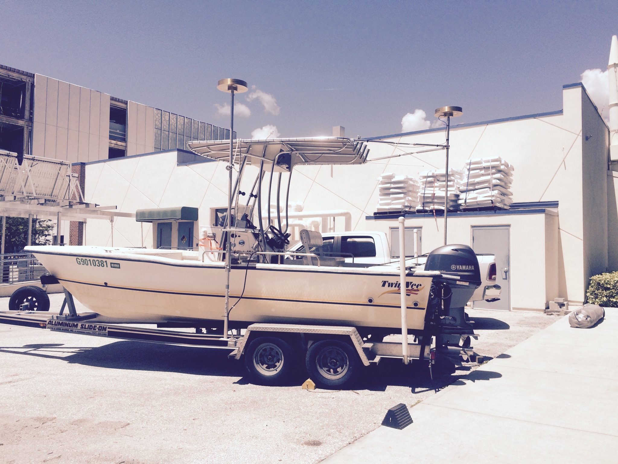
 Twin Vee (Jabba Jaw) |
DeWitt, N.T., Miselis, J.L., Fredericks, J.J., Bernier, J.C., Reynolds, B.J., Kelso, K.W., Thompson, D.M., Flocks, J.G., Wiese, D.S., 2017, Coastal bathymetry data collected in 2013 from the Chandeleur Islands, Louisiana: U.S. Geological Survey Data Series 1032, https://doi.org/10.3133/ds1032.
| Survey Equipment | Survey Info | Data Type(s) | Data Collected |
|---|---|---|---|
| Ashtech Z-Xtreme DGPS | --- | Benchmarks Navigation | |
| Choke Ring Antenna | --- | Benchmarks Navigation | No data was collected |
| Single-beam Acoustic Sounder | --- | Single Beam | Chandeleurs_2013_50_NAD83_NAVD88_GEOID09_DEM.zip (Bathymetry DEM
50-m cell size) Chan13_GIS.zip (Esri ArcGIS project) Chan13_SBB_xyz.zip (Single-beam soundings) 13BIM03-BA-pd-1 (2013 Single-beam Bathymetry Long Term Change for Louisiana Barrier Islands) Chan13_SBB_tracklines.zip (Single-beam tracklines) |
| Valeport SVP | --- | Sound Velocity |