Other ID: none
Status: Completed
Organization(s):
Funding Program(s): Sea-level and Storm Impacts on Estuarine Environments and Shorelines - SSIEES (GX.18.MN00.F1M10.00)
Data Source Information: Florida Fish and Wildlife Conservation Commission, Fish and Wildlife Research Institute
Information Specialist(s): Marci Marot, Christopher Smith
Data Type(s): Sampling: Geology
Start Date: 2014-02-01
End Date: 2014-02-01
Equipment Used: Other
Information to be Derived: Grain size, beryllium-7 and thorium-234 activities, organic matter content
Summary of Activity and Data Gathered: 3 sediment cores
Notes: Cores were collected by FWRI, analyses will be conducted by USGS.
Entries for this field activity are based on entries from Field Activity 15FWR01
Location:
Old Tampa Bay/Safety Harbor
| Boundaries | |||
|---|---|---|---|
| North: 28.08167373 | South: 27.77986875 | West: -82.8094 | East: -82.45666504 |
Platform(s):
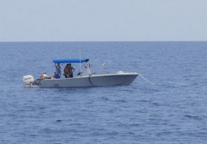
 Halimeda |
| Survey Equipment | Survey Info | Data Type(s) | Data Collected |
|---|---|---|---|
| Other | --- | --- | --- |