AKA: none
Other ID: none
Status: Completed
Organization(s):
Funding Program(s):
Principal Investigator(s): Jim Moore
Affiliate Investigator(s):
Information Specialist(s):
Data Type(s): Sampling: Geology
Scientific Purpose/Goals:
Vehicle(s):
Start Port/Location:
End Port/Location:
Start Date: 1964-01-01
End Date: 1964-12-31
Equipment Used: dredge
Information to be Derived:
Summary of Activity and Data Gathered:
Staff:
Affiliate Staff:
Notes: FAN created when rocks returned from MBARI
Location:
Hawaii
| Boundaries | |||
|---|---|---|---|
| North: 22.1543394 | South: 18.32465692 | West: -158.90625 | East: -152.97851563 |
Platform(s):
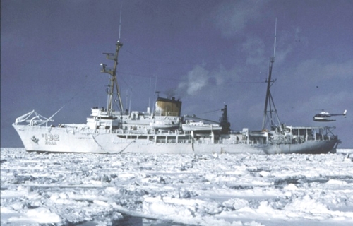 Surveyor |
| Survey Equipment | Survey Info | Data Type(s) | Data Collected |
|---|---|---|---|
| dredge | --- | Geology |
