Other ID: VERL 70-41
Status: Completed
Organization(s): USGS, Woods Hole Coastal and Marine Science Center
Funding Program(s):
Principal Investigator(s): John S. Schlee
Affiliate Investigator(s):
Information Specialist(s):
Data Type(s): Sampling: Chemistry, Environmental Data: Temperature, Sampling: Geology, Environmental Data: Current, Location-Elevation: Navigation
Scientific Purpose/Goals:
Vehicle(s):
Start Port/Location:
End Port/Location:
Start Date: 1970-10-19
End Date: 1970-10-23
Equipment Used: Van Dorn bottle, Bathythermograph, Van Veen grab sampler, Gifford grab, Seabed drifters, Loran-C
Information to be Derived:
Summary of Activity and Data Gathered: Stations: 16 (#3618-3630); Grab samples: 5; Surface water temp.: 31; Salinity: 60.
Staff: John S. Schlee, Bradford Butman, J. Jackmovicz, Charles J. O'Hara
Affiliate Staff:
Notes:
Project = MA DPW Co-op, MA DPW Co-op
Location:
Cape Cod Bay, Massachusetts Bay, Massachusetts, United States, North America, North Atlantic;
| Boundaries | |||
|---|---|---|---|
| North: 42.45408706 | South: 41.66835258 | West: -71.00219432 | East: -69.97947921 |
Platform(s):
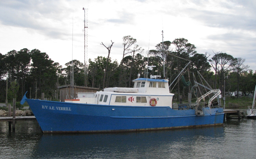 Verrill, A. E. |
Tucholke, B.E., Oldale, R. N., and Hollister, C. D., 1972, Map showing echo-sounding survey (3.5 kHz) of Massachusetts and Cape Cod Bays, western Gulf of Maine: U.S. Geological Survey Map I-716, 1 sheet, URL: https://pubs.er.usgs.gov/publication/i716.
| Survey Equipment | Survey Info | Data Type(s) | Data Collected |
|---|---|---|---|
| Van Dorn bottle | --- | Chemistry | |
| Bathythermograph | --- | Temperature | |
| Van Veen grab sampler | --- | Geology | 1970-013-FA-SC-001 (GRAB, UNKNOWN samples) |
| Gifford grab | --- | Geology | |
| Seabed drifters | --- | Current | |
| Loran-C | --- | Navigation | 1970-013-FA-LN-001 (Navigation trackline plot for field activity 70013) |
