Other ID: none
Status: Completed
Organization(s): USGS, Woods Hole Coastal and Marine Science Center
Funding Program(s):
Principal Investigator(s): Jack Connell
Affiliate Investigator(s): Richard Wolansky - WRD-Tampa
Information Specialist(s):
Data Type(s): Seismics: Boomer, Seismics: Air Gun / Water Gun, Seismics: Bubble Gun, Seismics: Sparker, Seismics: Sub Bottom Profiler
Scientific Purpose/Goals: Seismic survey of rivers and bays in the Tampa, Florida area.
Vehicle(s):
Start Port/Location: Tampa Bay, FL
End Port/Location: Tampa Bay, FL
Start Date: 1982-01-31
End Date: 1982-02-15
Equipment Used: EG&G 234, Single channel hydrophone
Information to be Derived:
Summary of Activity and Data Gathered:
Staff: Jack Connell
Affiliate Staff:
Richard Wolansky (Water Resources Group)
Notes: Information derived from pre-cruise and quarterly center reports; no post-cruise report found.
Location:
rivers and bays, Tampa area, Florida, United States, North America, North Atlantic;
| Boundaries | |||
|---|---|---|---|
| North: 28.04718 | South: 27.46441 | West: -83.0349 | East: -82.27661 |
Platform(s):
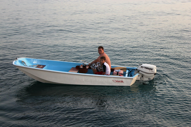 Whaler |
| Survey Equipment | Survey Info | Data Type(s) | Data Collected |
|---|---|---|---|
| EG&G 234 | --- | Boomer | |
| Single channel hydrophone | --- | Air Gun / Water Gun Boomer Bubble Gun Sparker Sub Bottom Profiler |
