Other ID: none
Status: Completed
Organization(s): USGS, Woods Hole Coastal and Marine Science Center
Funding Program(s):
Principal Investigator(s): Anne M. Trehu
Affiliate Investigator(s): Doug Stauber - USGS-Menlo Park
Information Specialist(s):
Data Type(s): Seismics: Ocean Bottom Seismometer, Location-Elevation: Navigation
Scientific Purpose/Goals: Deploy OBSes in lakes on Newberry Volcano in central Oregon as part of an experiment to detect magma chambers in the upper crust.
Vehicle(s):
Start Port/Location:
End Port/Location:
Start Date: 1984-08-27
End Date: 1984-08-29
Equipment Used: Ocean Bottom Seismometer, Loran-C
Information to be Derived:
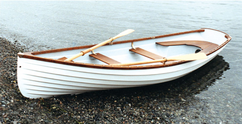
Summary of Activity and Data Gathered: Two ocean bottom seisometers (OBSes) were deployed in lakes on Newberry volcano in central Oregon as part of an experiment directed by Doug Stauber of the USGS, Menlo Park. The OBSes were used to fill holes in an array of seisometers distributed in a grid on the surface of the volcano with a station spacing of 1 km. Explosive shots were detonated outside the array, and wide angle reflections from the Moho and from an intracrustal layer (determined previously from conventional seismic refraction data) will be used to construct an image of the velocity structure beneath the volcano. Anne Trehu and Bruce Ambuter participated in the OBS portion of the experiment. One instrument was deployed in each of two lakes in the volcano's crater. The OBSes were deployed from small motorboats which are rented by the hour and are usually used for fishing. OBS locations were determined from LORAN which was calibrated relative to points which could be located on orthophotos and topographic maps. OBS 1 did not record any data. OBS 2 recorded arrival times from the shots, and these data are being included in the data set from the land instruments which is being analyzed in Menlo Park.
Staff: Anne M. Trehu
Affiliate Staff:
Bruce Ambuter - consultant
Sea Data
Notes:
Location:
Newberry Crater, Paulina Lake, East Lake, Deschutes National Forest, Oregon, United States, North America;
| Boundaries | |||
|---|---|---|---|
| North: 43.75 | South: 43.69 | West: -121.3 | East: -121.18 |
Platform(s):
 Small Boat |
| Title | Survey Equipment | Description |
|---|---|---|
| Cruise report | (document not focused on specific equipment) | Center Scientist's field report with cruise description including EOS abstract describing project. |
| Survey Equipment | Survey Info | Data Type(s) | Data Collected |
|---|---|---|---|
| Ocean Bottom Seismometer | --- | Ocean Bottom Seismometer | 1984-014-FA-SE-001 (Digital tape(s) of OBS, OBIP, ) 1984-014-FA-SE-002 (Digital tape(s) of OBS, OBIP, ) |
| Loran-C | --- | Navigation | 1984-014-FA-NL-001 (Center Scientist's field report including EOS abstract describing project.) |