Other ID: LANG1
Status: Completed
Organization(s): USGS, Woods Hole Coastal and Marine Science Center
Funding Program(s):
Principal Investigator(s): Stephen Colman
Affiliate Investigator(s): C.H. Hobbs, III - VIMS
Information Specialist(s): PARTNER
Data Type(s): Seismics: Boomer, Seismics: Air Gun / Water Gun, Seismics: Bubble Gun, Seismics: Sparker, Sonar: Sidescan, Location-Elevation: Navigation
Scientific Purpose/Goals: Collection of high-resolution seismic reflection and sidescan sonar data in order to define the geology and shallow structure of the Chesapeake Bay.
Vehicle(s):
Start Port/Location:
End Port/Location:
Start Date: 1984-10-15
End Date: 1984-10-26
Equipment Used: ORE GeoPulse, Innerspace Technology 25-element hydrophone, EG&G Model SMS 960 Seafloor Mapping System, Loran-C
Information to be Derived:
Summary of Activity and Data Gathered: All equipment performed smoothly and satisfactorily with the following exceptions: (1) the ORE power supply failed (blown capacitor) during the second week of the cruise and was replaced by the EG&G unit; and (2) intermittent minor problems with the key signal from the EPC recorders occurred and were very difficult to trace; the cause seemed to be build-up of carbon and moisture inside the recorder and an incorrect ground connection in a switching box. The cruise was very successful, due in part to excellent weather and to little equipment-related down-time. More than 700 km (380 nm) of seismic profile lines were obtained in 11 days at sea. Local problems with penetration were encountered, apparently due to gas in the sediments or to hard substrates (packed sand or oyster reefs). However, penetration depths were typically about 75 m (0.1 seconds two-way travel time), allowing excellent resolution for the entire Quaternary section and for the upper part of the Tertiary section. On-board observation of the records suggests that cyclic incision and deposition related to sea level changes is recorded in the Quaternary sediments, and that filled paleochannels are commonly unrelated to present bathymetry. The sidescan sonar records showed most of the bay bottom to be smooth and featureless, but local areas of distinct bedforms were encountered, especially near the present channels.
Staff: David Nichols, S. Jeffress Williams, Robert N. Oldale, Stephen Colman
Affiliate Staff:
Brian Atwater - Geologist (10/20-26); Susan Bartsch-Winkler - Geologist (10/15-16); Don Wright - Geologist
VIMS (10/16); Malcolm Green - Geologist
VIMS (10/16); George Thomas - Technician
VIMS (10/15-19
21-26); Rick Berquist - Geologist
William and Mary and VA Div. Mineral Resources (10/18); Gerre Johnson - Geologist
William and Mary (10/22); Heather McDonald - Geologist
William and Mary (10/22); Jeff Halka - Geologist
Maryland Geological Survey (MGS) (10/16-18); Randy Kehrin - Geologist
MGS (10/24)
Notes: The data will contribute to understanding the history and evolution of the Bay, and will provide basic data for management and planning decisions concerning the Bay, including those related to waste disposal; pollution control and clean-up; dredging; and sand, gravel and fisheries resources. Original Center People field contained: Steve Colman - Chief Scientist, Geolgist; Dave Nichols - Electronics Technician; Bob Oldale - Geologist (10/15-16); Brian Atwater - Geologist (10/20-26); Susan Bartsch-Winkler - Geologist (10/15-16); Jeff Williams - Geologist (10/24). Data Curator: LORAN-C.
Project = Geology of Chesapeake Bay, Geology of Chesapeake Bay
Location:
southern Chesapeake Bay, United States, North America, North Atlantic;
| Boundaries | |||
|---|---|---|---|
| North: 37.6 | South: 36.9 | West: -76.7 | East: -76.4 |
Platform(s):
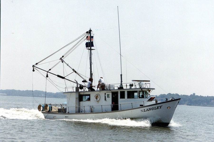 Langley |
| Title | Survey Equipment | Description |
|---|---|---|
| Cruise report | (document not focused on specific equipment) | Chief Scientist's cruise report including personnel, purpose, equipment, brief cruise summary, and trackmap. |
| Survey Equipment | Survey Info | Data Type(s) | Data Collected |
|---|---|---|---|
| ORE GeoPulse | --- | Boomer | |
| Innerspace Technology 25-element hydrophone | --- | Air Gun / Water Gun Boomer Bubble Gun Sparker | 1984-019-FA-SE-002 (analog tape of seismic data) 1984-019-FA-SE-001 (microfilm of CHESAPEAKE BAY, TRKCHT ON FILM) |
| EG&G Model SMS 960 Seafloor Mapping System | --- | Sidescan | 1984-019-FA-SO-001 ( Collection of paper record displays of sidescan sonar data for lines ) 1984-019-FA-SO-002 (microfilm of CHESAPEAKE BAY, TRKCHT ON FILM) |
| Loran-C | --- | Navigation | 1984-019-FA-LN-001-01 (Track Map (pdf file) Trackline map with line numbers, Julian day, 15 minute fixes, and UTM time) 1984-019-FA-LN-002 (Digital tape(s) of NV, ) 1984-019-FA-LN-001 (Navigation trackline plot for field activity 84019) |
