Other ID: LACOSS 6
Status: Completed
Organization(s): USGS, Woods Hole Coastal and Marine Science Center
Funding Program(s):
Principal Investigator(s): John West
Affiliate Investigator(s): John Suter, Shea Penland - LGS
Information Specialist(s):
Data Type(s): Location-Elevation: Navigation, Seismics: Boomer, Seismics: Sub Bottom Profiler
Scientific Purpose/Goals:
Vehicle(s):
Start Port/Location:
End Port/Location:
Start Date: 1985-05-15
End Date: 1985-05-21
Equipment Used: ORE GeoPulse, Loran-C, 3.5 kHz, Single channel hydrophone
Information to be Derived:
Summary of Activity and Data Gathered: Datasonics 3.5: Lines CI1-CI7, MB1-MB14, CI8-CI48. ORE GeoPulse: Lines CI1-CI7, MB1-MB14, CI8-CI48. Sidescan Sonar: Lines MB8, MB10.
Staff: James C. McFarlen, John West
Affiliate Staff:
Notes: No cruise report; information derived from seismic analog tape log.
Project = Louisiana Cooperative Sand Survey, Louisiana Cooperative Sand Survey
Location:
Chandeleur Islands, Louisiana continental shelf, Louisiana, United States, Gulf of Mexico, North America, North Atlantic;
| Boundaries | |||
|---|---|---|---|
| North: 30.28963971 | South: 29.34281121 | West: -89.37320157 | East: -88.72404826 |
Platform(s):
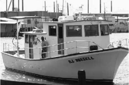 R J Russell |
Bosse, S.T., Flocks, J.G., Forde, A.S., 2020, Archive of digitized analog boomer seismic reflection data collected from the Northern Gulf of Mexico: 1982, 1985, 1989, 1991, and 1992: U.S. Geological Survey data release, https://doi.org/10.5066/P9YA25SF.
| Title | Survey Equipment | Description |
|---|---|---|
| Geophysics log | (document not focused on specific equipment) | Watchstander's log describing seismic analog line and tape start and end times and comments. |
| Survey Equipment | Survey Info | Data Type(s) | Data Collected |
|---|---|---|---|
| ORE GeoPulse | --- | Boomer | |
| Loran-C | --- | Navigation | 1985-043-FA-LN-001-03 (Rescued navigation file from 5-minute-fix plot file with latitude, longitude and time annotation; May 17, 0200, 1985 - May 18, 1930, 1985.) 1985-043-FA-LN-001-04 (Rescued navigation file from 5-minute-fix plot file with latitude, longitude and time annotation; May 19, 1600, 1985 - May 21, 0940, 1985.) 1985-043-FA-LN-001-01 (Rescued navigation file from 5-minute-fix plot file with latitude, longitude and time annotation; May 15, 1709, 1985 - May 16, 2330, 1985.) 1985-043-FA-LN-001-02 (Rescued navigation file from 5-minute-fix plot file with latitude, longitude and time annotation; May 16, 1985.) |
| 3.5 kHz | --- | Sub Bottom Profiler | |
| Single channel hydrophone | --- | Air Gun / Water Gun Boomer Bubble Gun Sparker Sub Bottom Profiler | 1985-043-FA-SE-001 (analog tape of seismic data) |
