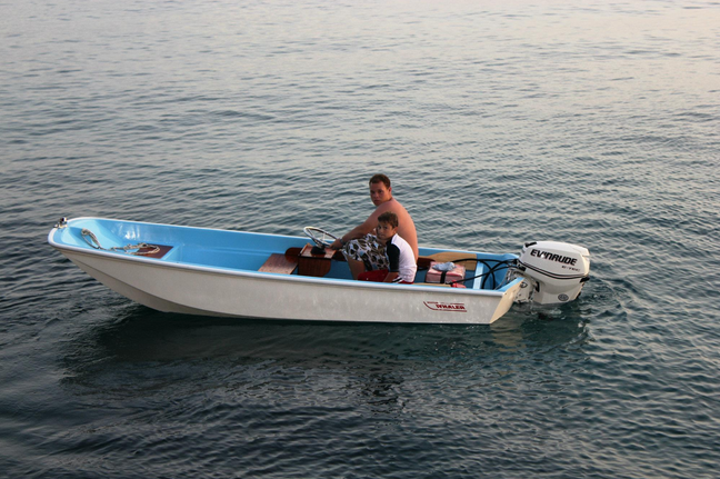
Other ID: Whaler 90-01
Status: Completed
Organization(s): USGS, Woods Hole Coastal and Marine Science Center
Funding Program(s):
Principal Investigator(s): David W. Folger
Affiliate Investigator(s):
Information Specialist(s):
Data Type(s): Electro-Magnetic: Ground Penetrating Radar, Location-Elevation: Navigation
Scientific Purpose/Goals: Assess the application of Ground Penetrating Radar to measure the thickness of the sand wedge along the Illinois and Indiana shorelines.
Vehicle(s):
Start Port/Location: Great Lakes, IL
End Port/Location: Great Lakes, IL
Start Date: 1990-09-11
End Date: 1990-09-13
Equipment Used: Ground penetrating radar, Theodolites
Information to be Derived:
Summary of Activity and Data Gathered: Repeated transects about 900 m long were run with radars of different frequencies off Great Lakes, and one transect with one frequency was run off Waukegan. In both areas, the thickness of sand had been measured previously by jetting.
Staff: David Foster, David W. Folger
Affiliate Staff:
G. Olhoeft
scientist; J. Lucius
scientist; F. Pranschke
scientist; M. Chrzastowski
scientist
Notes: Original Center People field contained: Dave Folger, scientist; G. Olhoeft, scientist; D. Dave Foster, scientist; J. Lucius, scientist; F. Pranschke, scientist; M. Chrzastowski, scientist.
Project = Southern Lake Michigan Erosion Study, Southern Lake Michigan Erosion Study
Location:
Southern Lake Michigan, Great Lakes, Illinois, United States, North America;
| Boundaries | |||
|---|---|---|---|
| North: 42.4 | South: 42.25 | West: -87.85 | East: -87.75 |
Platform(s):
 Whaler |
| Title | Survey Equipment | Description |
|---|---|---|
| Cruise report | (document not focused on specific equipment) | Chief Scientist's cruise report including personnel, purpose, equipment, data collected summary, and trackmap. |
| Survey Equipment | Survey Info | Data Type(s) | Data Collected |
|---|---|---|---|
| Ground penetrating radar | --- | Ground Penetrating Radar | |
| Theodolites | --- | Navigation |