Other ID: none
Status: Completed
Organization(s): USGS, Woods Hole Coastal and Marine Science Center
Funding Program(s):
Principal Investigator(s): Kim D. Klitgord
Affiliate Investigator(s): Susan Agar - Northwestern Univ., Kiril Levi - USSR Academy of Sciences
Information Specialist(s):
Data Type(s): Electro-Magnetic: Magnetics, Location-Elevation: Navigation
Scientific Purpose/Goals: To establish a viable land-based cooperative effort to link with the extensive marine cooperative project already underway. To examine rock outcrops and geologic structures along the coast of Olkhon Peninsula, Olkhon Island, Svyatoy Nos Peninsula, Ushkanji Island, and the Barguzin Range.
Vehicle(s):
Start Port/Location: Listvyanka, Siberia, USSR
End Port/Location:
Start Date: 1991-06-16
End Date: 1991-07-27
Equipment Used: Magnetometer (wh), Loran-C
Information to be Derived:
Summary of Activity and Data Gathered:
Staff: Kim D. Klitgord
Affiliate Staff:
Susan Agar - Northwestern Univ.
Kiril Levi - USSR Academy of Sciences
Notes:
Location:
Lake Baikal, Siberia, Russia, Asia;
| Boundaries | |||
|---|---|---|---|
| North: 56 | South: 51 | West: 102.5 | East: 110 |
Platform(s):
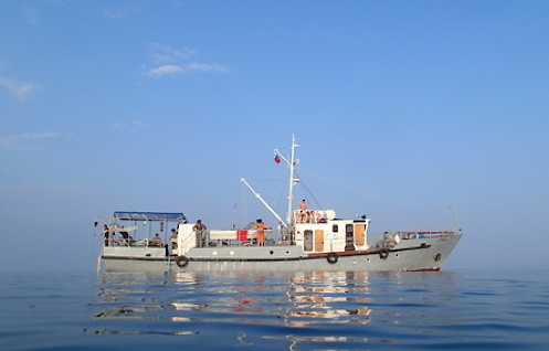 Treskov |
| Title | Survey Equipment | Description |
|---|---|---|
| Cruise report | (document not focused on specific equipment) | Chief Scientist's cruise report narrative describing field work and summary of that work, locations of reconnaissance sites and geologic field work sites, and location maps. |
| Survey Equipment | Survey Info | Data Type(s) | Data Collected |
|---|---|---|---|
| Magnetometer (wh) | --- | Magnetics | |
| Loran-C | --- | Navigation |
