Other ID: VERL91-3,V-3-91-AL
Status: Completed
Organization(s): USGS, Woods Hole Coastal and Marine Science Center
Funding Program(s):
Principal Investigator(s): William J. Strahle, Guy Gelfenbaum
Affiliate Investigator(s): Guy Gelfenbaum - USGS, St. Petersburg
Information Specialist(s):
Data Type(s): Location-Elevation: Navigation, Time Series: Mooring (physical oceanography)
Scientific Purpose/Goals: Deploy BASS tripod
Vehicle(s):
Start Port/Location: Dauphin Island, AL
End Port/Location: Dauphin Island, AL
Start Date: 1991-08-05
End Date: 1991-08-05
Equipment Used: Loran-C, Bottom platform, navigation
Information to be Derived: Time series data;
Summary of Activity and Data Gathered: Moorings deployed: 2 (#386 and 387, both recovered FA 91038 VERRILL Oct. 28, 1991).
Staff: Marinna Martini, William J. Strahle, William J. Strahle, Marinna Martini
Affiliate Staff:
K. Monroe - USGS-St. Petersburg
Al Gunter - DISL
M. Dardeau - DISL
K. Monroe (USGS St. Petersburg) - Scientist
A. Gunter (DISL) - unspecified
M. Dardeau (DISL) - unspecified
Notes: Project = AL-MS Circulation (Gelfenbaum, St. Petersburg), AL-MS Circulation (Gelfenbaum, St. Petersburg)
Staff information imported from InfoBank
Guy Gelfenbaum (USGS St. Petersburg) - Chief Scientist
Bill Strahle (USGS Woods Hole) - Scientist
Marinna Martini (USGS Woods Hole) - Scientist
K. Monroe (USGS St. Petersburg) - Scientist
A. Gunter (DISL) - unspecified
M. Dardeau (DISL) - unspecified
Location:
Alabama Mobile Bay
| Boundaries | |||
|---|---|---|---|
| North: 31.75 | South: 28.25 | West: -90.75 | East: -84.25 |
Platform(s):
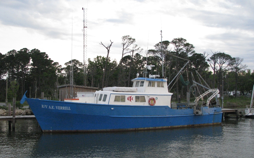 Verrill, A. E. |
| Title | Survey Equipment | Description |
|---|---|---|
| Cruise report | (document not focused on specific equipment) | Chief Scientist's cruise report including personnel, equipment, tabulated information. |
| Survey Equipment | Survey Info | Data Type(s) | Data Collected |
|---|---|---|---|
| Loran-C | --- | Navigation | |
| Bottom platform | --- | Mooring (physical oceanography) | |
| navigation | --- | Navigation |
