Other ID: none
Status: Completed
Organization(s): USGS, Woods Hole Coastal and Marine Science Center
Funding Program(s):
Principal Investigator(s): William J. Strahle
Affiliate Investigator(s):
Information Specialist(s):
Data Type(s): Time Series: Mooring (physical oceanography)
Scientific Purpose/Goals: Deploy part of mooring #391 at Mobile Site A, Gulf of America (Gulf of Mexico); deploy mooring #394 in lower Mobile Bay, Alabama. Recovered damaged mooring #392 from lower Mobile Bay and #393 from upper Mobile Bay.
Vehicle(s):
Start Port/Location:
End Port/Location:
Start Date: 1991-12-09
End Date: 1991-12-13
Equipment Used: Bottom platform
Information to be Derived: Time series data;
Summary of Activity and Data Gathered: Moorings deployed: 2 (part of #391, recovered FA 92030 TOMMY MUNRO May 6, 1992, and #394, recovered FA 92038 VERRILL AE, May 11, 1992). Moorings recovered: 2 (#392 deployed FA 91040 VERRILL AE Nov. 5, 1991, and #393 deployed FA 91054 SEA OX Nov. 11, 1991).
Staff:
Affiliate Staff:
Notes: No field activity reports; information derived from mooring logs.
Location:
Mobile Bay, Alabama, United States, Gulf of America (Gulf of Mexico), North America, North Atlantic;
| Boundaries | |||
|---|---|---|---|
| North: 30.3 | South: 29.95 | West: -88.2 | East: -87.95 |
Platform(s):
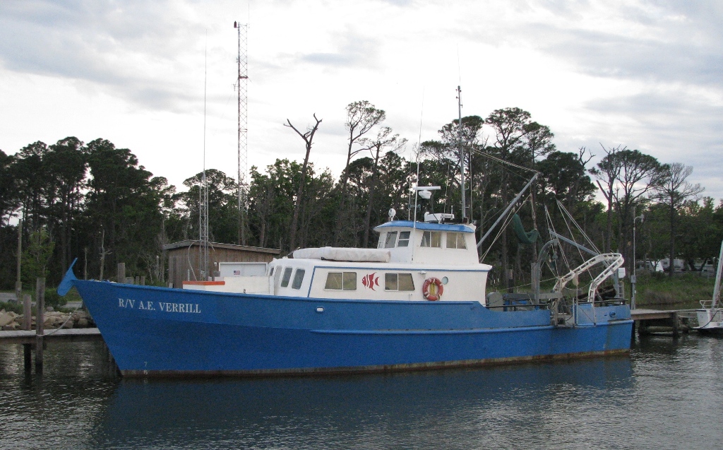 Verrill, A. E. |
| Survey Equipment | Survey Info | Data Type(s) | Data Collected |
|---|---|---|---|
| Bottom platform | --- | Mooring (physical oceanography) | 1991-053-FA-OM-001 (mooring data) |
