Other ID: 92ER2, 92ER4
Status: Completed
Organization(s): USGS, St. Petersburg Coastal and Marine Science Center
Funding Program(s):
Principal Investigator(s): James Flocks, Jack Kindinger
Affiliate Investigator(s):
Information Specialist(s): Arnell Forde
Data Type(s): Seismics: Boomer
Scientific Purpose/Goals: To investigate the shallow geologic framework from Lake Pontchartrain, Louisiana, to Mobile Bay, Alabama.
Vehicle(s): Unknown
Start Port/Location: St.Petersburg, FL
End Port/Location: St.Petersburg, FL
Start Date: 1992-06-12
End Date: 1992-08-20
Equipment Used: Other, Other
Information to be Derived: Sub-bottom profiles
Summary of Activity and Data Gathered: Scanned images (.tif) of analog seismic profiles, navigation and GIS files.
Staff: Jordan Sanford, Dana Wiese
Affiliate Staff:
Notes: The new field activity IDs 92ER2 and 92ER4 were originally referred to as ERDA 92-2 and ERDA 92-4 at the USGS in St. Petersburg, FL, and 92010 and 92037 at the USGS in Woods Hole, MA.
Location:
Mississippi Sound
| Boundaries | |||
|---|---|---|---|
| North: 30.40411959 | South: 30.11797628 | West: -90.2142334 | East: -88.09521484 |
Platform(s):
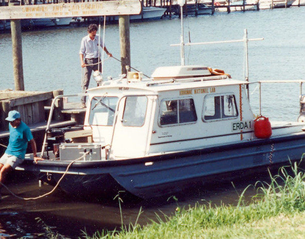 Erda-1 |
Sanford, J.M., Harrison, A.S., Wiese, D.S., Flocks, J.G., 2008, Archive of digitized analog boomer seismic reflection data collected from Lake Pontchartrain, Louisiana to Mobile Bay, Alabama, during cruises onboard the R/V ERDA-1, June and August 1992: U.S. Geological Survey Data Series 370, https://doi.org/10.3133/ds370.
| Survey Equipment | Survey Info | Data Type(s) | Data Collected |
|---|---|---|---|
| Other | --- | --- | --- |
| Other | --- | --- | --- |
