Other ID: none
Status: Completed
Organization(s): USGS, St. Petersburg Coastal and Marine Science Center
Funding Program(s):
Principal Investigator(s): Mark Erik Hansen
Affiliate Investigator(s):
Information Specialist(s): Nancy DeWitt
Data Type(s): Location-Elevation: Navigation, Sonar: Single Beam
Scientific Purpose/Goals: This project addressed the collection and interpretation of data necessary to develop the present day bathymetry of the Estero Bay region. This project supports several SFWMD efforts including the proposed MFL development for Estero Bay, which was due in 2006, the revisit of the Estero Bay Estuary MFL and the Southwest Florida Feasibility Study all of which would utilize hydrodynamic model results. The project also supports other non-modeling efforts such as the determination of the oligolialine zone in the Estero Bay system.
Vehicle(s): None
Start Port/Location: Estero Bay, FL
End Port/Location: Matlacha Pass, FL
Start Date: 2003-02-01
End Date: 2003-06-01
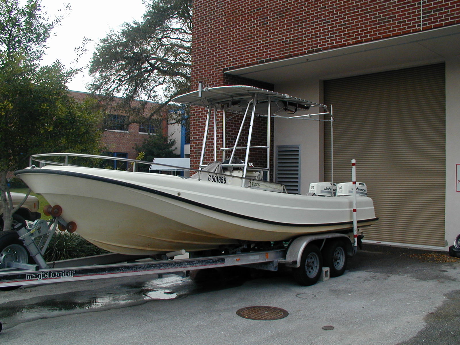
Equipment Used: Marimatech Echosounder, Ashtech Z-Xtreme DGPS, Choke Ring Antenna, TSS DMS-05 Motion Sensor
Information to be Derived: Single beam bathymetry (X,Y,Z). Products are ASCII text files of the sounding data and point shapefiles representing seafloor elevations.
Summary of Activity and Data Gathered: Number of soundings: 28,716,737 in comma-delimited and Esri point shapefile formats.
Staff: Nancy DeWitt, Mark Erik Hansen
Affiliate Staff:
Notes: All data were processed relative to the WGS84 (G1150) ellipsoid.
Lidar data was collected for Estero Bay to Matlacha Pass, FL under field activity 03LTS04.
Location:
Estero Bay to Matlacha Pass, FL
| Boundaries | |||
|---|---|---|---|
| North: 26.48824314 | South: 26.36816489 | West: -82.11456299 | East: -81.9730835 |
Platform(s):
 Streeterville |
Hansen, M.E., DeWitt, N.T., Reynolds, B.J., 2017, Archive of bathymetry data collected in South Florida from 1995 to 2015: U.S. Geological Survey Data Series 1031, https://doi.org/10.3133/ds1031.
| Survey Equipment | Survey Info | Data Type(s) | Data Collected |
|---|---|---|---|
| Marimatech Echosounder | --- | Single Beam | DS1031-EsteroB_WGS84_NAVD88-G99_SB_txt.xyz.zip (Singlebeam soundings in comma-delimited text format.) DS1031-EsteroB_WGS84_NAVD88-G99_SB_shp.xyz.zip (Singlebeam soundings in Esri point shapefile format.) |
| Ashtech Z-Xtreme DGPS | --- | Benchmarks Navigation | |
| Choke Ring Antenna | --- | Benchmarks Navigation | |
| TSS DMS-05 Motion Sensor | --- | Interferometric Single Beam |