Other ID: none
Status: Completed
Organization(s): USGS, Woods Hole Coastal and Marine Science Center
Funding Program(s):
Principal Investigator(s): Charles Worley
Affiliate Investigator(s): Mark Hansen - USGS, St. Pete
Information Specialist(s): PARTNER
Data Type(s): Location-Elevation: Navigation, Sonar: Interferometric
Scientific Purpose/Goals: Testing of Submetrix swath bathymetry system in shallow water stream environment in Everglades and Key Largo - tested against LIDAR and single beam bathymetry in same areas.
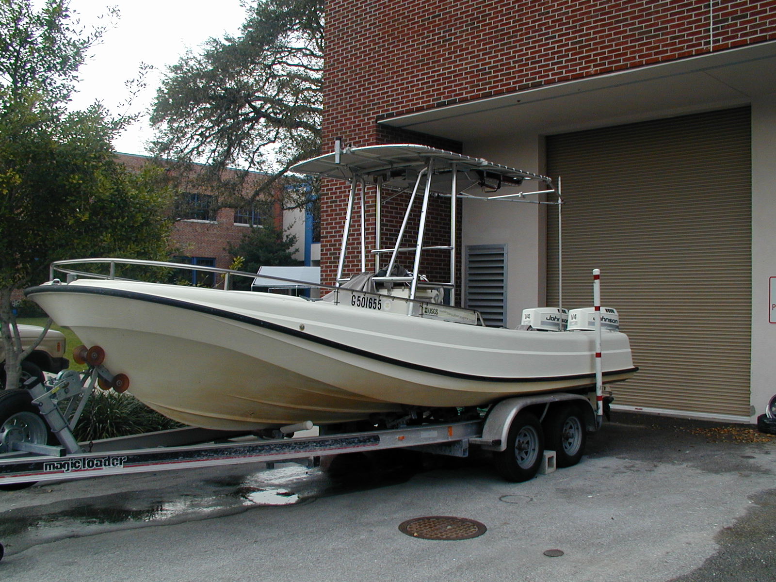
Vehicle(s):
Start Port/Location: Everglades, FL
End Port/Location: Everglades, FL
Start Date: 2004-01-15
End Date: 2004-01-24
Equipment Used: DGPS, SEA SWATHplus-M 234 kHz
Information to be Derived:
Summary of Activity and Data Gathered: Surveyed rivers in Everglades National Park, collecting Submetrix bathymetry data.
Staff: Charles Worley
Affiliate Staff:
Mark Hansen
USGS-St. Pete
PI
Notes: The purpose of this cruise is to determine the viability of swath bathymetry data in shallow water streams. Raw data requested; no post processing by the Sea Floor Mapping Group required. Original Center People field contained: Chuck Worley: Operate SEA Ltd. Submetrix SWATH Bathymetry equipment.
Information from Foghorn: Submetrix;DGPS;
Location:
Small streams in Everglades National Park, Key Largo, Florida, Gulf of Mexico, United States, North America, North Atlantic;
| Boundaries | |||
|---|---|---|---|
| North: 25.76667 | South: 25.08333 | West: -81.4167 | East: -80.56667 |
Platform(s):
 Streeterville |
| Survey Equipment | Survey Info | Data Type(s) | Data Collected |
|---|---|---|---|
| DGPS | --- | Navigation | |
| SEA SWATHplus-M 234 kHz | --- | Interferometric |