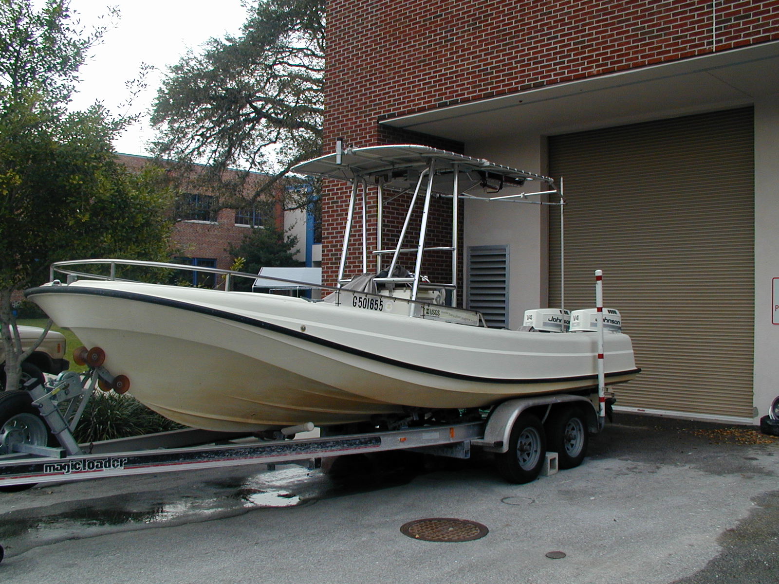
Other ID: none
Status: Completed
Organization(s): USGS, St. Petersburg Coastal and Marine Science Center
Funding Program(s): Barrier Island Comprehensive Monitoring - BICM (GR.20.MN00.FT954.00)
Principal Investigator(s):
Affiliate Investigator(s): Mark Kulp University of New Orleans (UNO) Mike Miner UNO
Information Specialist(s): Nancy DeWitt
Data Type(s): Imagery: Photo, Location-Elevation: Navigation, Sonar: Single Beam
Scientific Purpose/Goals: Preliminary single-beam bathymetry surveys in the three areas.
Vehicle(s): Chevy Suburban Silver
Start Port/Location: Cocodrie, Louisiana
End Port/Location: Grand Isle, Louisiana
Start Date: 2004-07-21
End Date: 2004-07-31
Equipment Used: Choke Ring Antenna, TSS DMS-05 Motion Sensor, Ashtech Z-Xtreme DGPS, Marimatech Echosounder, Digital Camera
Information to be Derived: Information to be derived is post-processed high-precision bathymetry data in xyz format.
Summary of Activity and Data Gathered: GPS sessions for the base stations and the boat. For Madison Bay >102 km of tracklines produced 26,172 processed xyz data points.
Staff: Nancy DeWitt, James Flocks
Affiliate Staff:
Notes:
Location:
Maddison Bay, Louisiana Little Pass Timbalier, Louisiana Pass Abel - Grand Isle, Louisiana
| Boundaries | |||
|---|---|---|---|
| North: 29.47361 | South: 29.15883 | West: -90.51002 | East: -90.11907 |
Platform(s):
 Streeterville |
Bernier, J.C., Kelso, K.K., DeWitt, N.T., 2019, Single-beam bathymetric data collected in 2004 and 2008 from the Mississippi River Delta Plain, Louisiana: U.S. Geological Survey data release, https://doi.org/10.5066/P9RIB5GC.
Wessels, S., 2010, Late Quaternary Mississippi River Incised Valley Fill: Transgressive Depositional Packages: Master's thesis. University of New Orleans. , URL: https://scholarworks.uno.edu/td/1236.
| Survey Equipment | Survey Info | Data Type(s) | Data Collected |
|---|---|---|---|
| Choke Ring Antenna | --- | Benchmarks Navigation | No data was collected |
| TSS DMS-05 Motion Sensor | --- | Interferometric Single Beam | |
| Ashtech Z-Xtreme DGPS | --- | Benchmarks Navigation | |
| Marimatech Echosounder | --- | Single Beam | 2004-303-FA_Little_Timbalier_Pass-BA-pd-2 (2004-303-FA_Little_Timbalier_Pass_NAD83_NAVD88_GEOID03.txt [Single-beam soundings in comma-delimited text format.]) 2004-303-FA_Madison_Bay-NL-pd-1 (2004-303-FA_Madison_Bay_Tracklines.zip [Single-beam soundings in Esri polyline shapefile format]) 2004-303-FA_Little_Timbalier_Pass-BA-pd-1 (2004-303-FA_Little_Timbalier_Pass_NAD83_NAVD88_GEOID03.shp [Singlebeam soundings in Esri point shapefile format]) 2004-303-FA-Little_Timbalier_Pass-NL-pd-1 (2004-303-FA_Little_Timbalier_Pass_tracklines.shp [Single-beam tracklines in Esri polyline shapefile format.]) 2004-303-FA_Madison_Bay-BA-pd-1 (2004-303-FA_Madison_Bay_NAD83_NAVD88_GEOID03.zip [Single-beam soundings in Esri point shapefile format]) 2004-303-FA_Madison_Bay-BA-pd-2 (2004-303-FA_Madison_Bay_NAD83_NAVD88_GEOID03_txt.zip [Single-beam soundings in comma-delimited text format]) 2004-303-FA_SBB_xyz (Single-beam bathymetric x,y,z data from the Madison Bay study area) |
| Digital Camera | --- | Photo Video |