Other ID: none
Status: Completed
Organization(s): USGS, Woods Hole Coastal and Marine Science Center
Funding Program(s):
Principal Investigator(s): Dann Blackwood
Affiliate Investigator(s): Tim McCobb - WRD-Northborough, MA
Information Specialist(s): PARTNER
Data Type(s): Imagery: Photo, Sampling: Biology, Sampling: Geology
Scientific Purpose/Goals: Locate and connect monitoring wells to instruments.
Vehicle(s):
Start Port/Location: Public Boat Ramp, Ashumet Pond, Falmouth, MA
End Port/Location: Public Boat Ramp, Ashumet Pond, Falmouth, MA
Start Date: 2005-07-20
End Date: 2005-07-20
Equipment Used: Camera- deep sea, Digital camera, Grab sampler
Information to be Derived:
Summary of Activity and Data Gathered: All wells were located and measured. An additional well that was considered lost was also located.
Staff: Sandy Baldwin, Dann Blackwood
Affiliate Staff:
Notes: Diving operations in 10-15 ft. water using buddy system. First Aid and DAN O2 emergency rescue kits on-site. Data Curator: Tim McCobb - WRD.
Location:
Ashumet Pond, Falmouth, Massachusetts, United States, North America;
| Boundaries | |||
|---|---|---|---|
| North: 41.6302716 | South: 41.62979847 | West: -70.53050995 | East: -70.52966237 |
Platform(s):
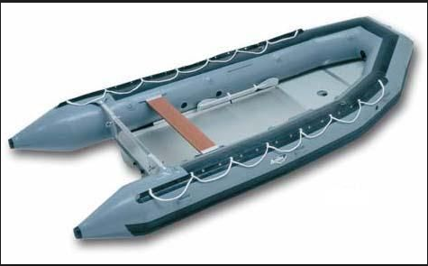 Achilles Inflatable - generic |
| Survey Equipment | Survey Info | Data Type(s) | Data Collected |
|---|---|---|---|
| Camera- deep sea | --- | Photo | |
| Digital camera | --- | Photo | 2005-030-FA-PH-001 (Deck photos of field activity operations) |
| Grab sampler | --- | Biology Geology |
