Other ID: DI-0805
Status: Completed
Organization(s): USGS, Woods Hole Coastal and Marine Science Center
Funding Program(s):
Principal Investigator(s): Michael Bothner
Affiliate Investigator(s):
Information Specialist(s): Michael Casso
Data Type(s): Location-Elevation: Navigation, Imagery: Video, Sampling: Geology
Scientific Purpose/Goals: Collect sediment cores from Monitoring Stations 4 and 8 in Boston Harbor for metals analysis.
Vehicle(s):
Start Port/Location: Coast Guard Base, Boston, MA
End Port/Location: Coast Guard Base, Boston, MA
Start Date: 2005-08-15
End Date: 2005-08-15
Equipment Used: Push corer (wh), GPS (wh), Video camera - deep sea
Information to be Derived: Time series data; Samples and chemical analysis; Grain size analysis;
Summary of Activity and Data Gathered: 4 sediment cores were collected using push poles from the surface ship near the time of low tide. All cores were located about 25 feet NW of the Boston Harbor Station 4 target location. Due to the current and the difficulty of collecting cores at Station 4, we decided to cancel attempting core collection at Station 8 (which would have had deeper water and stronger current).
Staff: Sandy Baldwin, Michael Casso, Richard Rendigs
Affiliate Staff:
Notes: Original Center People field contained: Michael Casso, Sandy Baldwin Milbert, Richard Rendigs (Cruise leader).
Project = Coastal Processes, Environmental Change: Northeast, Coastal Processes, Environmental Change: Northeast
Location:
Boston Harbor, Massachusetts, United States, North America, North Atlantic,
| Boundaries | |||
|---|---|---|---|
| North: 42.35 | South: 42.26667 | West: -71.0167 | East: -70.88333 |
Platform(s):
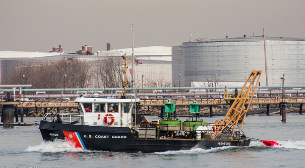 USCG 49 Foot Buoy Tender |
Bothner, M.H., and Butman, Bradford (eds.), 2007, Processes influencing the transport and fate of contaminated sediments in the coastal ocean—Boston Harbor and Massachusetts Bay: U.S. Geological Survey Circular 1302, 89 p., https://doi.org/10.3133/cir1302.
| Survey Equipment | Survey Info | Data Type(s) | Data Collected |
|---|---|---|---|
| Push corer (wh) | --- | Biology Geology | |
| GPS (wh) | --- | Navigation | |
| Video camera - deep sea | --- | Video |
