Other ID: none
Status: Completed
Organization(s): USGS, Woods Hole Coastal and Marine Science Center
Funding Program(s):
Principal Investigator(s): John Bratton
Affiliate Investigator(s): Sheridan Haack, USGS-WRD-MI
Information Specialist(s): John Crusius
Data Type(s): Sampling: Chemistry, Sampling: Biology, Sampling: Geology, Location-Elevation: Navigation, Environmental Data: CTD, Environmental Data: Temperature, Time Series: Mooring (physical oceanography), Environmental Data: Radon, Environmental Data: Conductivity, Environmental Data: Dissolved Oxygen, Environmental Data: ORP, Environmental Data: pH
Scientific Purpose/Goals: Radon mapping in areas of suspected sublacustrine groundwater discharge.
Vehicle(s):
Start Port/Location: Sandusky, OH
End Port/Location: Sandusky, OH
Start Date: 2005-09-12
End Date: 2005-09-16
Equipment Used: Niskin bottle, Ponar clamshell sediment sampler, GPS (wh), Temperature and salinity, Pressure, RAD7 radon detection instrument, YSI multiparameter sonde
Information to be Derived:
Summary of Activity and Data Gathered: We circumnavigated S. Bass Island and examined the Starve Island Deep on Tuesday, paralleled the outer shore of the Marblehead Peninsula on Wed., then did something like a figure eight in lower Sandusky Bay, going west from White's Landing, then across the Bay to near the N. end of the bridge, then over a bit past the quarry, then straight back across to a point a bit west of White's Landing. On the trip south across the Bay, we picked up the locations of some of the springs, and then we tackled one in particular, sampling just above it. We collected Niskin samples at 7 m, 4 m and 1 m, which I hope to analyze for bacterial types. I brought back one bottle of water from 7 m depth in the spring for chemical analysis and will have it analyzed for major ions. On Friday I tested some of that water for nutrients using the HACH test kits. The results are below. John and John have a lot of analyses to run before any conclusive statements can be made. However, in general, raw numbers for radon were least around Bass Island, possibly very slightly higher off the Marblehead Peninsula, and considerably higher in Sandusky Bay. However, in the Bay there was no clear pattern with respect to sources of radon, so that the center of the Bay had raw numbers similar to those near the shores and only one reading near the spring was higher than ambient Bay water. John and John say that these data must await interpretation, so we really can't conclude anything at the moment from the raw data. The spring was very interesting. The bottom of the Bay was generally located around 2 m. The spring went down to at least 7 m. The water at depth was cold, and black with suspended fine particles. At about 2 m, there was a sharp temperature interface, with the water above 2 m being as warm as typical lake water. The water above 2 m also showed no trace of the black suspended particles. When the Niskin bottle was dropped to ~ 3m , it brought up a sample for which the lower half was black, cold slurry, and the upper half was warm mostly clear Bay water. This interface was sharply present even though there were 1.5-ft waves (at least). Mike and I retrieved samples from 7 m, the interface and from the overlying Bay water. After sitting overnight, the fine particles in the 7 m sample had settled to about the halfway volume of the bottle (the upper portion of this settled component was still very flocculant). The water above the floc is what I analyzed using the HACH test kits, after filtering it through a 0.45 GF filter. This is also the water I will send for major ions analysis. This analysis will include Ca, Cl, F, Fe, Mg, Mn, K, Si, Na, and SO4, Ba and Sr. John and John--if there is any other constituent you would like analyzed let me know and I'll see if they can do it with the water I prepared. The floc/water mix is what I tested with our Hydrolab (data below). I also tested the Bay water for the same nutrients, but didn't do the Hydrolab stuff because this was from my microbial sample and I didn't want to use that much water! 7 m spring sample HACH and Hydrolab test data: alkalinity: 167 mg/L CaCO3 conductance: 2.24 mS/cm (2240 uS/cm) DO: 0.17 mg/L pH: 7.01 PO4-P: 0.06 mg/L NO3-N: 1.20 mg/L NH3-N: 0.38 mg/L Bay water: PO4-P: 0.0 mg/L NO3-N: 0.40 mg/L NH3-N: 0.03 mg/L John and John also deployed their YSI probe in a depth profile at the spring and indicated a conductance as high as I measured at depth, with a value around 200 uS/cm in the Bay, which is a value I would expect. In general, it appears that the spring we tested delivers highly mineralized water which is cold, low in oxygen, and perhaps more nutrient-rich than the overlying water. This is very similar to Great Sulphur Spring, except we didn't detect sulfide odor. John and John-- I have faxed to you two reports of chemistry for mud samples we collected at esga (Erie State Game Area, SE corner of Monroe Cty, MI near Great Suphur Spring) and pmsga (Pt. Mouille State Game Area, near mouth of Detroit River, NE corner of Monroe Cty). The Station IDs are the lat-longs for the sites. These muds were similar in consistency and appearance to what we observed in Sandusky Bay. This information may be useful, but of course there is guarantee the composition is the same at the two locations. Again, thanks to everyone! Sheridan *************************************************** Sheridan Kidd Haack USGS, Lansing, Michigan 48911 Phone: 517-887-8909 Fax: 517-887-8937
Staff: John Bratton, John Crusius, Dirk Koopmans
Affiliate Staff:
Sheridan Haack
USGS-WRD-MI
co-chief scientist
microbiology; Mike Bur
USGS-BRD-OH
aquatic biologist
Notes: Original Center People field contained: John Bratton, co-chief scientist, geochemistry; John Crusius, co-chief scientist, geochemistry; Dirk Koopmans, technician.
Project = Coastal Ground-Water Systems, Coastal Ground-Water Systems
Location:
Western Lake Erie, Michigan, Ohio, United States, North America;
| Boundaries | |||
|---|---|---|---|
| North: 41.9795 | South: 41.4561 | West: -83.5388 | East: -82.5598 |
Platform(s):
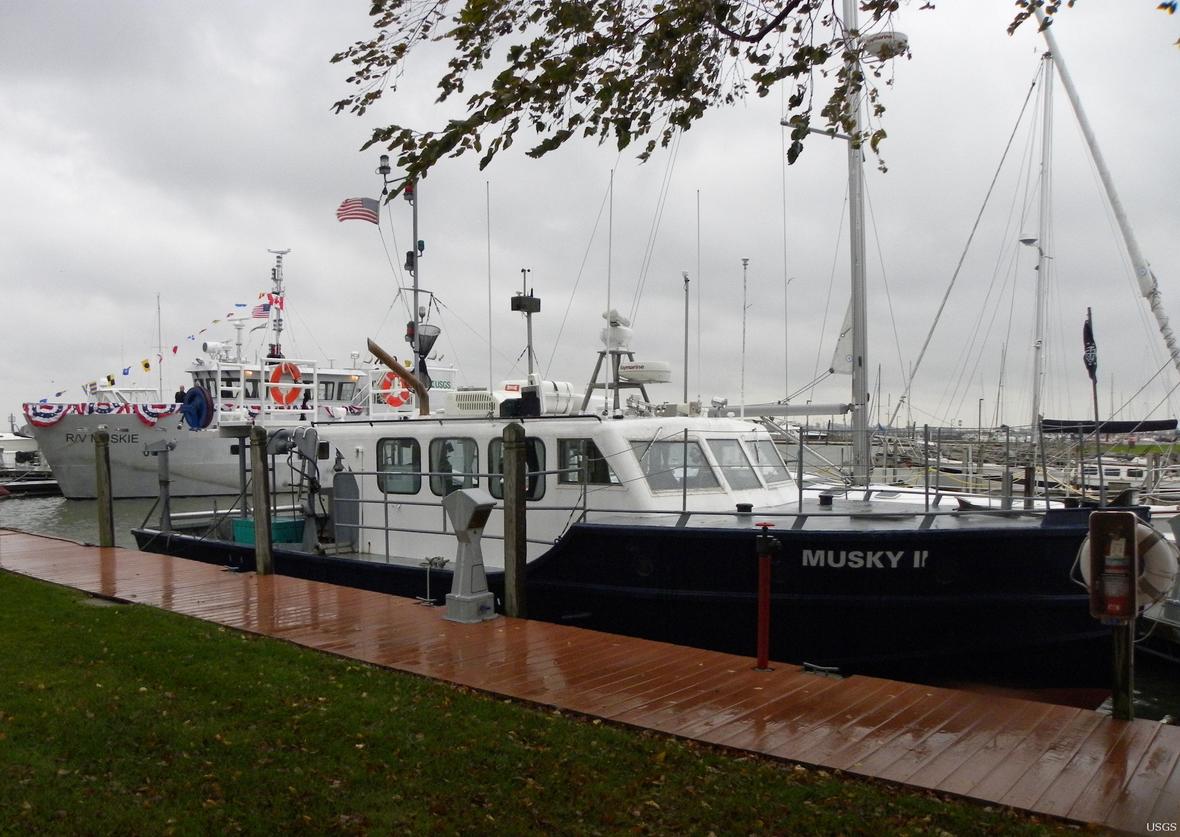 Musky II |
| Survey Equipment | Survey Info | Data Type(s) | Data Collected |
|---|---|---|---|
| Niskin bottle | --- | Chemistry | |
| Ponar clamshell sediment sampler | --- | Biology Geology | |
| GPS (wh) | --- | Navigation | |
| Temperature and salinity | --- | CTD Temperature | |
| Pressure | --- | Mooring (physical oceanography) | |
| RAD7 radon detection instrument | --- | Radon | |
| YSI multiparameter sonde | --- | Conductivity Dissolved Oxygen ORP pH Temperature |
