Other ID: none
Status: Completed
Organization(s): USGS, St. Petersburg Coastal and Marine Science Center, University of New Orleans
Funding Program(s): Barrier Island Comprehensive Monitoring - BICM (GR.20.MN00.FT954.00)
Principal Investigator(s): James Flocks
Affiliate Investigator(s): University of New Orleans (UNO) and the Louisiana Department of Natural Resources (LDNR)
Information Specialist(s): Nancy DeWitt
Data Type(s): Location-Elevation: Benchmarks, Location-Elevation: Navigation, Sonar: Single Beam
Scientific Purpose/Goals: To conduct a high resolution single-beam bathymetric survey from Belle Pass to Caminada Pass that reoccupies tracklines from a similar bathymetric survey conducted in 1989.
Vehicle(s): None
Start Port/Location: Fourchon, LA
End Port/Location: Fourchon, LA
Start Date: 2005-07-26
End Date: 2005-08-05
Equipment Used: Ashtech Z-Xtreme DGPS, Collapsible Tripod, Choke Ring Antenna, Marimatech Echosounder, TSS DMS-05 Motion Sensor
Information to be Derived: Base station GPS, Boat GPS, single-beam bathymetry data
Summary of Activity and Data Gathered: Collected 483 km of single-beam bathy data which translated into 155,477 xyz data points.
Staff: Nancy DeWitt, Billy Reynolds, Mark Erik Hansen
Affiliate Staff:
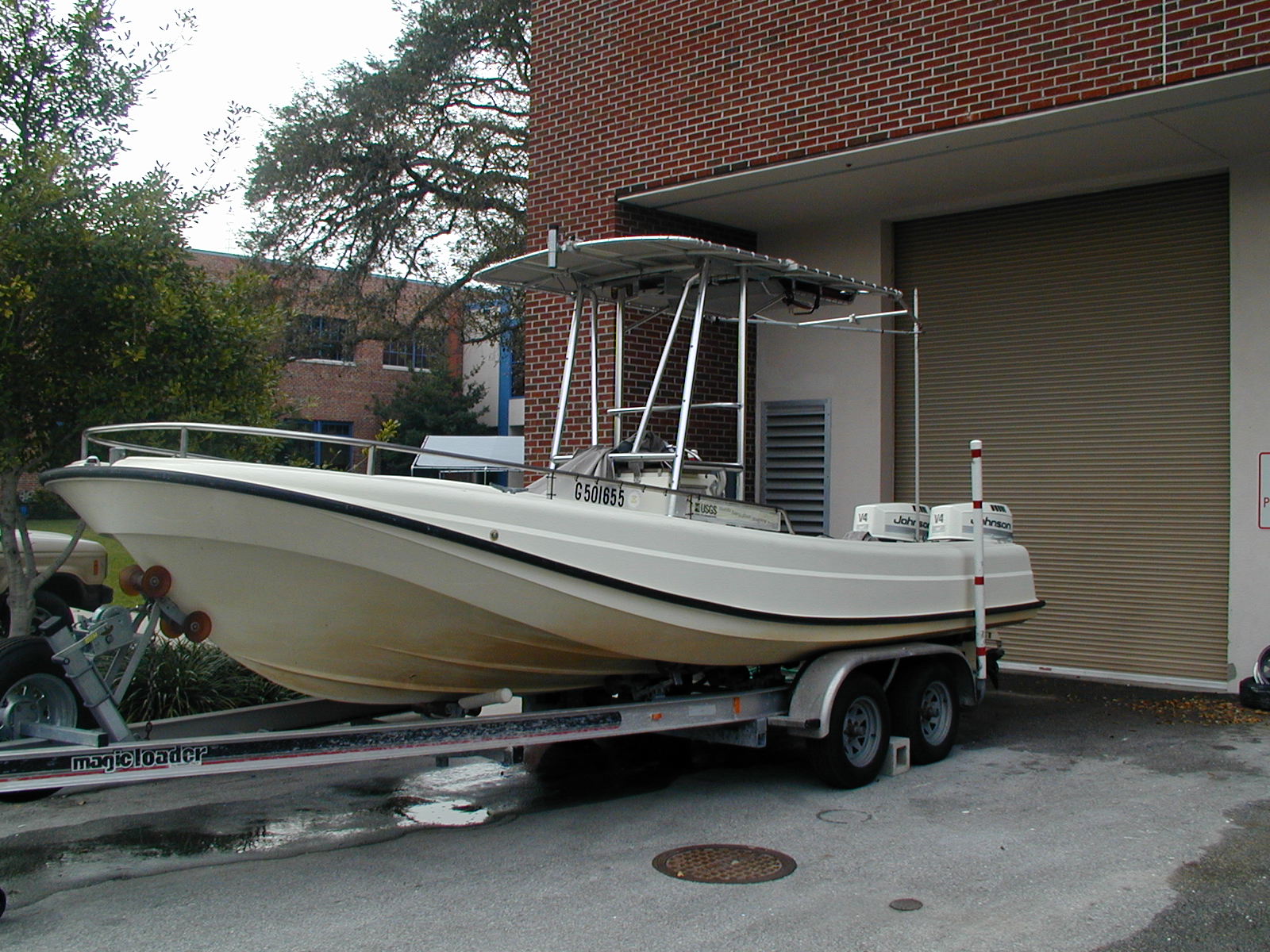
Notes: This is a retroactive FAN, the survey platform was the R/V Streeterville and the government vehicle used at the time was a chevy suburban - white.
Location:
Port Fourchon, LA; Caminada Monroe Headland
| Boundaries | |||
|---|---|---|---|
| North: 29.1995924 | South: 29.0098368 | West: -90.2288362 | East: -89.9959833 |
Platform(s):
 Streeterville |
DeWitt, N.T., Flocks, J., Hansen, M., Kulp, M., Reynolds, B.J., 2007, Bathymetric survey of the nearshore from Belle Pass to Caminada Pass, Louisiana: methods and data report: U.S. Geological Survey Data Series 312, https://doi.org/10.3133/ds312.
Wessels, S., 2010, Late Quaternary Mississippi River Incised Valley Fill: Transgressive Depositional Packages: Master's thesis. University of New Orleans. , URL: https://scholarworks.uno.edu/td/1236.
| Survey Equipment | Survey Info | Data Type(s) | Data Collected |
|---|---|---|---|
| Ashtech Z-Xtreme DGPS | --- | Benchmarks Navigation | |
| Collapsible Tripod | Tripod was used to hold the choke ring antenna upon the benchmark at each static base location. | Benchmarks Navigation Profiles Transects | |
| Choke Ring Antenna | The satellite L1/L2 signals were received via the Ashtech choke-ring antennas for the base station and the boat. The Ashtech Z-Xtreme GPS receivers interpret the signals and record the information as binary files. | Benchmarks Navigation | |
| Marimatech Echosounder | This instrument did not collect individual files; rather it was streaming depth below transducer via the E-SEA.dll driver into the HYPACK acquisition software. The strings of data are time stamped and located in the RAW HYPACK files. Example of data string: EC2 2 53549.473 2.210 0.000. | Single Beam | |
| TSS DMS-05 Motion Sensor | This instrument did not collet individual files; rather it was streaming boat motion (heave, roll, and pitch) via the TSS320.dll driver into the HYPACK acquisition software. The strings of data are time stamped and located in the RAW HYPACK files. Example of data string: HCP 0 40073.584 -0.020 1.680 3.110. | Interferometric Single Beam |