AKA: none
Other ID: none
Status: Pending
Organization(s): USGS, Pacific Coastal and Marine Science Center
Funding Program(s): Coastal and marine earthquake, tsunami, and landslide active margin field studies (ZP00EQV)
Data Source Information: Daniel S. Brothers
Information Specialist(s): Alicia Balster-gee, Daniel Kennedy, Daniel Brothers
Data Type(s): Seismics: Sub Bottom Profiler
Start Date: 2006-08-04
End Date: 2008-09-04
Equipment Used: 0.5-16 kHz receiver, 0.5-16 kHz
Information to be Derived: Comprehensive sub-bottom Chirp surveys conducted in the Salton Sea between 2006 and 2008.
Summary of Activity and Data Gathered: More than 1,000 line-km of sub-bottom Chirp profiles were collected using Scripps Institution of Oceanography’s Edgetech subscan system aboard two vessels: a privately owned 50’ pontoon vessel and the 23’ R/V Stephens (owned and operated by the USGS Utah Water Science Center). All data were digitally recorded and included real-time differential GPS navigation stamped to each trace, providing absolute location accuracy to within 5 m. Data were recorded using Edgetech's proprietary JSF format and were subsequently converted to standard SEG-Y format. Sub-bottom surveys employed different CHIRP pulses depending on sub-bottom conditions. Chirp surveys were conducted to better understand the late-Holocene depositional framework and deformation history within the submerged portion of the San Andreas-Imperial Fault pull-apart basin, and to examine coseismic deformation preserved in Lake Cahuilla sediments.
Notes: Affiliate Investigators: Neal W. Driscoll, Graham M. Kent, Robert L. Baskin
Equipment Used: custom Edgetech 0.5-16 kHz system owned by the Scripps Institution of Oceanography
Information to be Derived: Stratigraphy and faults
Number of days in the field: 30
Data were collected as part of Daniel Brother's PhD work while at Scripps.
Location:
Salton Trough of Southern California, Salton Sea
| Boundaries | |||
|---|---|---|---|
| North: 33.57526889 | South: 33.06484469 | West: -116.13977054 | East: -115.55090312 |
Platform(s):
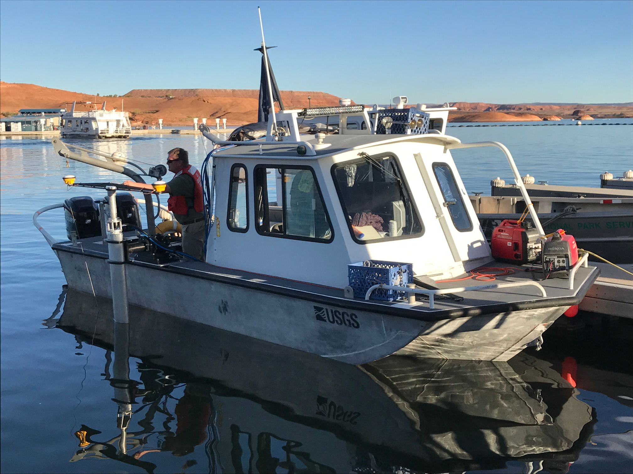 Stephens |
Brothers, D.S., Driscoll, N.W., Kent, G.M., Baskin, R.L., and Balster-Gee, A.F., 2022, Sub-bottom chirp data acquired in the Salton Sea, California, between 2006 and 2008: U.S. Geological Survey data release, https://doi.org/10.5066/P9ER5TNT.
| Survey Equipment | Survey Info | Data Type(s) | Data Collected |
|---|---|---|---|
| 0.5-16 kHz receiver | --- | Sub Bottom Profiler | Sub-bottom chirp data acquired in the Salton Sea, California, between 2006 and 2008 (More than 1,000 line-km of sub-bottom chirp data were collected with an Edgetech 0.5-16 kHz subscan system by Scripps Institution of Oceanography between 2006 and 2008 in the Salton Sea, California, with assistance from the U.S. Geological Survey (USGS). Data were subsequently donated by Scripps to the USGS for public release (USGS field activity identifier 2006-603-DD).) |
| 0.5-16 kHz | --- | Sub Bottom Profiler |
