Other ID: P-11-09-MA
Status: Completed
Organization(s): USGS, Woods Hole Coastal and Marine Science Center
Funding Program(s):
Principal Investigator(s): Michael Bothner
Affiliate Investigator(s): Carl Lamborg, WHOI
Information Specialist(s): Michael Casso
Data Type(s): Imagery: Photo, Imagery: Video, Location-Elevation: Navigation, Sampling: Chemistry, Sampling: Geology, Environmental Data: CTD
Scientific Purpose/Goals: Obtain water samples and cores of bottom sediment for the study of mercury concentrations, chemical forms and deposition history in coastal environments.
Vehicle(s):
Start Port/Location:
End Port/Location:
Start Date: 2009-01-26
End Date: 2009-01-27
Equipment Used: Digital camera, SeaBOSS, GPS (wh), Niskin bottle, Gravity corer, YSI Sound velocity CTD (wh)
Information to be Derived:
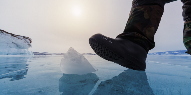
Summary of Activity and Data Gathered: Three excellent cores were collected in a gradient from anoxic to oxic conditions in the bottom water. Water samples were collected at each of the three locations. Ice thickness was greater than 5 inches. Safety equipment included buoyant surfboard, life jackets, ice claws, ice anchors, rope, and a toboggan to distribute weight near an open hole.
Staff: Dann Blackwood, Michael Bothner, Thomas Brooks
Affiliate Staff:
WHOI: Carl Lamborg
Kathleen Munson
Paul Drevnick - water and core collection
MeHg analysis
Notes: Original Center People field contained: Mike Bothner (chief scientist), Dann Blackwood (core recovery and photographic specialist), Wally Brooks (YSI profiling specialist).
Project = Coastal Geological Processes and Long-Term, Coastal Geological Processes and Long-Term
Location:
Oyster Pond, Falmouth, Massachusetts, United States, North America;
| Boundaries | |||
|---|---|---|---|
| North: 41.5391 | South: 41.5388 | West: -70.6383 | East: -70.6372 |
Platform(s):
 On Ice |
| Survey Equipment | Survey Info | Data Type(s) | Data Collected |
|---|---|---|---|
| Digital camera | --- | Photo | 2009-011-FA-PH-001 (79 operations photos by Dann Blackwood: ice coring, personnel, equipment, etc.) |
| SeaBOSS | --- | Surveys (biological) Experiments (biological) Species ID Photo Video Geology Biology | 2009-011-FA-PH-002 (DVD ROM disk of BOTTOM B&W VIDEO OYSTER POND, ) |
| GPS (wh) | --- | Navigation | |
| Niskin bottle | --- | Chemistry | 2009-011-FA-SC-002 (Water samples.) |
| Gravity corer | --- | Geology | 2009-011-FA-SC-001 (3 bottom sediment cores.) |
| YSI Sound velocity CTD (wh) | --- | CTD |
