Other ID: none
Status: Completed
Organization(s): USGS, Woods Hole Coastal and Marine Science Center
Funding Program(s):
Principal Investigator(s): Page Valentine
Affiliate Investigator(s): Mary Carman, WHOI
Information Specialist(s): Page Valentine
Data Type(s): Imagery: Photo, Sampling: Biology
Scientific Purpose/Goals: Monitor experiment on the invasive colonial tunicate Didemnum vexillum at the WHOI dock.
Vehicle(s):
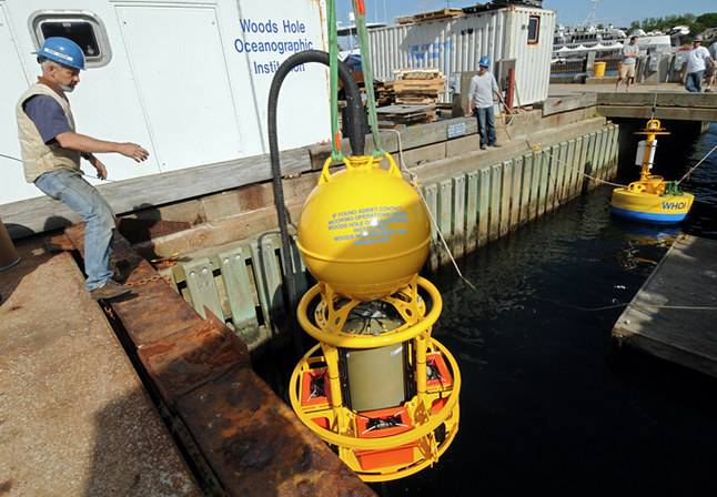
Start Port/Location: Woods Hole, MA
End Port/Location: Woods Hole, MA
Start Date: 2009-12-14
End Date: 2009-12-14
Equipment Used: Digital camera, Sample containers
Information to be Derived:
Summary of Activity and Data Gathered: Notes/logs, 2 pages. Inspected settlement plates for Didemnum vexillum recruits; none found. Collected 2 samples of D. vexillum tissue, preserved in formalin, and stored with Mary Carman, McLean Bldg, WHOI. Took 13 digital photos in JPEG format of settlement plates attached to milk crate.
Staff: Dann Blackwood, Page Valentine
Affiliate Staff:
Notes: D. vexillum tissue samples preserved in formalin and stored with Mary Carman, McLean Bldg, WHOI
Project = Benthic Habitats: Geological and Biological Studies, Benthic Habitats: Geological and Biological Studies
Location:
Great Harbor, Woods Hole, Massachusetts, United States, North America, North Atlantic;
| Boundaries | |||
|---|---|---|---|
| North: 41.52363 | South: 41.5236 | West: -70.672 | East: -70.67193 |
Platform(s):
 WHOI dock |
| Survey Equipment | Survey Info | Data Type(s) | Data Collected |
|---|---|---|---|
| Digital camera | --- | Photo | |
| Sample containers | --- | Biology Geology | 2009-094-FA-SC-001 (2 Didemnum vexilllum tissue samples in formalin.) |
