Other ID: none
Status: Completed
Organization(s): USGS, Woods Hole Coastal and Marine Science Center
Funding Program(s):
Principal Investigator(s): John Pohlman
Affiliate Investigator(s):
Information Specialist(s): John Pohlman
Data Type(s): Environmental Data: CO2, Location-Elevation: Navigation, Sampling: Chemistry, Sampling: Geology
Scientific Purpose/Goals: Collect fluid and sediment samples to investigate sedimentary cycling of methane and to reconstruct the record of methane emissions for Lake Tesch, near Drew Point on the north slope of Alaska.
Vehicle(s):
Start Port/Location:
End Port/Location:
Start Date: 2010-04-14
End Date: 2010-05-01
Equipment Used: Sensor - CO2, Gravity corer, Water sampler, GPS (wh)
Information to be Derived:
Summary of Activity and Data Gathered: Cored and sampled four lakes in the vicinity of Lake Teschepuk -- Lake Teshepuk, Lake Helen, Lake 21 and Lake Koguru. Cores from each lake we processed for analysis of gases, fluids, sediments and biomarkers. Fluids have been processed for concentration analysis of dissolved CO2.
Staff:
Affiliate Staff:
Notes: Project = High-Latitude Climate-Hydrates Interactions - Dept. of Energy, High-Latitude Climate-Hydrates Interactions - Dept. of Energy
Location:
Teshepuk Lake, Alaska, United States, North America;
| Boundaries | |||
|---|---|---|---|
| North: 70.98835 | South: 70.2446 | West: -154.336 | East: -151.30371 |
Platform(s):
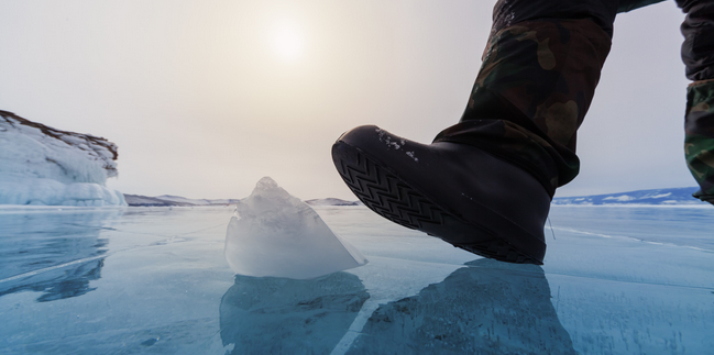 On Ice |
| Survey Equipment | Survey Info | Data Type(s) | Data Collected |
|---|---|---|---|
| Sensor - CO2 | --- | CO2 | |
| Gravity corer | --- | Geology | |
| Water sampler | --- | Chemistry | |
| GPS (wh) | --- | Navigation |
