Other ID: none
Status: Completed
Organization(s): USGS, Woods Hole Coastal and Marine Science Center
Funding Program(s):
Principal Investigator(s): Dann Blackwood
Affiliate Investigator(s): Mary Carman WHOI
Information Specialist(s): Dann Blackwood
Data Type(s): Imagery: Photo, Imagery: Video, Location-Elevation: Navigation, Sampling: Biology
Scientific Purpose/Goals: Try to determine if tunicates differ in DNA depending on what they grow on. Try to determine if tunicates affect eelgrass growth and shoot density.
Vehicle(s):
Start Port/Location: Stonewall Pond, Marthas Vineyard, MA
End Port/Location: Lake Tashmoo, Marthas Vineyard, MA
Start Date: 2010-10-14
End Date: 2010-10-14
Equipment Used: Video camera - deep sea, Camera- deep sea, Digital camera, Sample containers, GPS (wh)
Information to be Derived:
Summary of Activity and Data Gathered: 12 samples preserved: 6 from eelgrass and 6 from hard man-made substrate. Photos taken with drop camera system. 26 samples retrieved for eelgrass shoot density and growth from 2 sites.
Staff: Dann Blackwood
Affiliate Staff:
Phil Colarusso - R1/USEPA
Dave Grunden - Oak Bluffs Shellfish Department
Shellfish Constable; Department
Bay Scallop Project Coordinator
Notes: Eelgrass tagged with tiewraps on September 29 were retrieved. Phil Colarusso in charge of those samples. Mary Carman has tunicate samples for DNA analysis.
Location:
Marthas Vineyard, Massachusetts, United States, North America, North Atlantic;
| Boundaries | |||
|---|---|---|---|
| North: 41.3299 | South: 41.32269 | West: -70.765 | East: -70.75195 |
Platform(s):
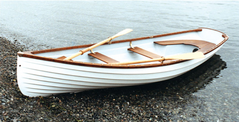 Small Boat |
| Survey Equipment | Survey Info | Data Type(s) | Data Collected |
|---|---|---|---|
| Video camera - deep sea | --- | Video | |
| Camera- deep sea | --- | Photo | 2010-101-FA-PH-001 (Field operations photos: 189 jpeg images.) |
| Digital camera | --- | Photo | 2010-101-FA-PH-002 (Field Operations Photo's.) |
| Sample containers | --- | Biology Geology | |
| GPS (wh) | --- | Navigation |
