Other ID: none
Status: Cancelled
Organization(s): USGS, Woods Hole Coastal and Marine Science Center
Funding Program(s):
Principal Investigator(s):
Affiliate Investigator(s):
Information Specialist(s): Claudia Flores
Data Type(s): Location-Elevation: Navigation, Seismics: Multichannel, Seismics: Sparker, Environmental Data: CTD, Environmental Data: Temperature, Seismics: Sub Bottom Profiler
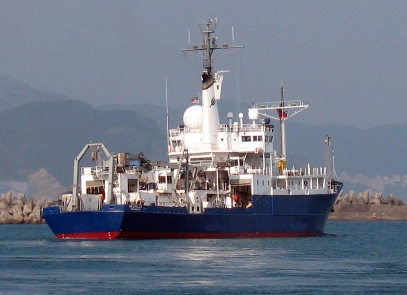
Scientific Purpose/Goals: Geophysical surveys to map the Rose Canyon/Newport Englewood Fault Zone and adjacent continental slope. Evaluate seismic and landslide hazards to coastal communities located along the Southern California Bight. Data to be collected: high-resolution multichannel seismic (72-ch GeoEel) w/ 6-kJ sparker source and depth-control birds; Edgetech 512i; EM 122 swath bathymetry data. Cruise will take place on board SIO's R/V Melville. 21-day cruise, with two days of mob/demob on either end.
Vehicle(s):
Start Port/Location: San Diego
End Port/Location: San Diego
Start Date: 2013-10-29
End Date: 2013-11-24
Equipment Used: GPS (wh), HYPACK, Seismic reflection, Multichannel seismics, Sparker , Temperature and salinity, Edgetech Sidescan sonar, Edgetech chirp subbottom profiler 512i
Information to be Derived: Sea floor map;Bathymetric maps;Morphology;
Summary of Activity and Data Gathered:
Staff: Brian Andrews, Wayne Baldwin, Jason Chaytor, Eric Moore, Thomas O'Brien, Uri Ten Brink, Charles Worley
Affiliate Staff:
Notes: San Diego begin/end port
Project = TBD, TBD
Location:
Southern California Bight
| Boundaries | |||
|---|---|---|---|
| North: 33.64206 | South: 32.56533 | West: -118.0481 | East: -117.1582 |
Platform(s):
 Melville |
| Survey Equipment | Survey Info | Data Type(s) | Data Collected |
|---|---|---|---|
| GPS (wh) | --- | Navigation | |
| HYPACK | --- | Navigation | |
| Seismic reflection | --- | Air Gun / Water Gun Boomer Sparker | |
| Multichannel seismics | --- | Multichannel | |
| Sparker | --- | Sparker | |
| Temperature and salinity | --- | CTD Temperature | |
| Edgetech Sidescan sonar | --- | Sidescan | |
| Edgetech chirp subbottom profiler 512i | --- | Sub Bottom Profiler |