Other ID: 14WFS01
Status: Completed
Organization(s): USGS, St. Petersburg Coastal and Marine Science Center
Funding Program(s): Other (Other)
Principal Investigator(s): Christopher Smith
Affiliate Investigator(s):
Information Specialist(s): Christopher Smith
Data Type(s): Location-Elevation: Navigation, Sampling: Chemistry
Scientific Purpose/Goals: Assess monitoring wells
Vehicle(s): Ford F-350 Dually - Silver (GSA)
Start Port/Location: Clearwater, Florida
End Port/Location: Clearwater, Florida
Start Date: 2014-05-30
End Date: 2014-05-30
Equipment Used: Garmin GPS, Water Sampler
Information to be Derived: Water level, temperature, and salinity data
Summary of Activity and Data Gathered: Hot-swapped water level gauges and sampled wells; approximately 12 samples collected.
Staff: Charles Adams, Joseph Fredericks, Kyle Kelso, Billy Reynolds
Affiliate Staff:
Notes: Divers to assist in accessing wells.
Location:
Indian Rocks Beach, Pinellas County, FL
| Boundaries | |||
|---|---|---|---|
| North: 27.88945991 | South: 27.85536509 | West: -82.9042 | East: -82.86066589 |
Platform(s):
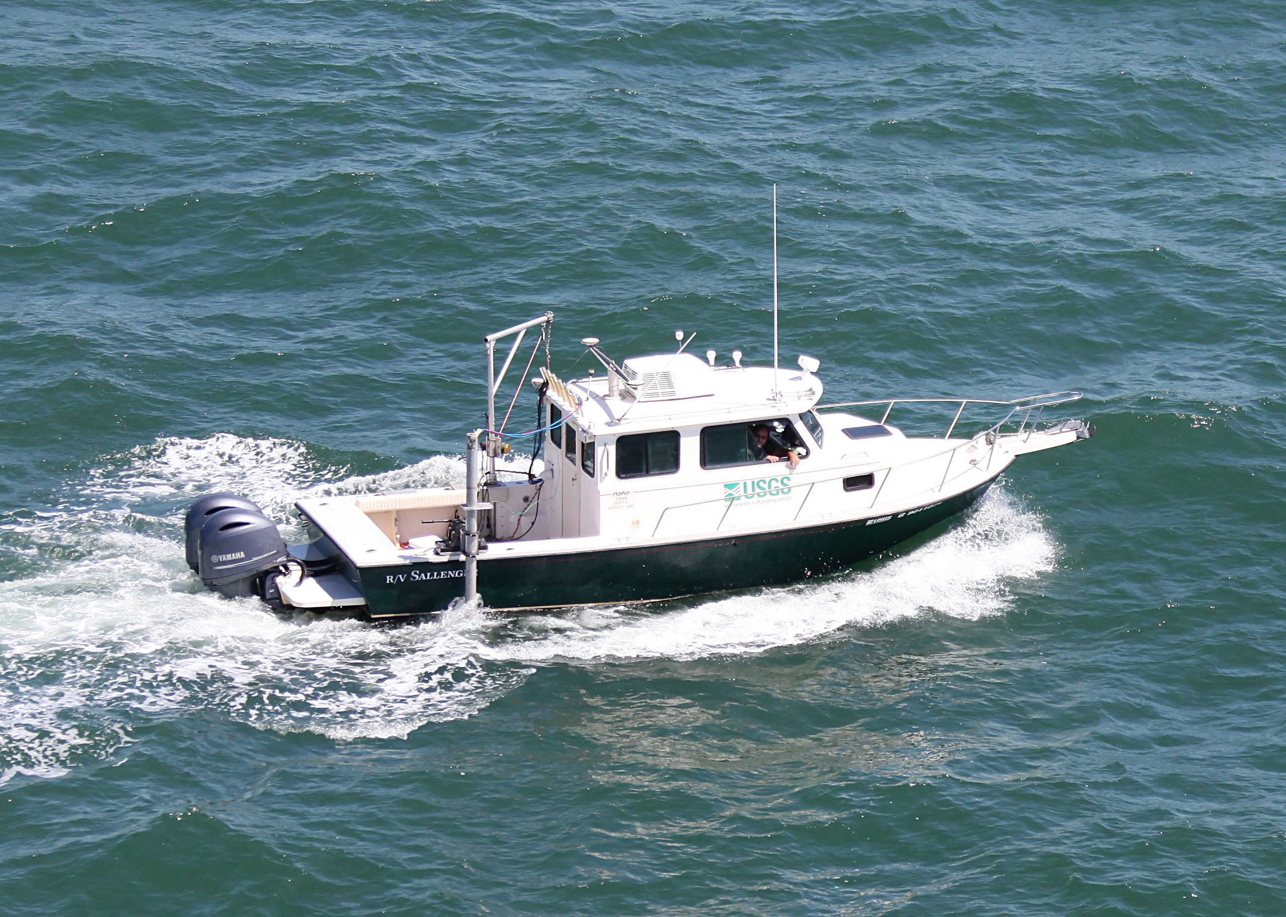
 Sallenger |
| Survey Equipment | Survey Info | Data Type(s) | Data Collected |
|---|---|---|---|
| Garmin GPS | --- | Navigation | |
| Water Sampler | --- | Chemistry |