Other ID: none
Status: Completed
Organization(s): USGS, St. Petersburg Coastal and Marine Science Center
Funding Program(s): Coral Reef Ecosystems Studies - CREST (GX.22.MN00.E3R50.00)
Principal Investigator(s): David Zawada
Affiliate Investigator(s):
Information Specialist(s): Philip Thompson, Lance Thornton
Data Type(s): Imagery: Photo, Location-Elevation: Navigation, Sonar: Single Beam
Scientific Purpose/Goals: Collect ATRIS imagery and single-beam bathymetry of the CREST study site
Vehicle(s): Ford F-350 Dually White (GSA)
Start Port/Location: St. Petersburg, FL
End Port/Location: St. Petersburg, FL
Start Date: 2014-06-23
End Date: 2014-06-26
Equipment Used: Other, Along Track Reef Imaging System (ATRIS) - Shallow
Information to be Derived: Benthic habitats and bathymetry
Summary of Activity and Data Gathered: ATRIS imagery and single-beam bathymetry of Crocker Reef
Staff: Philip Thompson, Lance Thornton, David Zawada
Affiliate Staff:
Notes:
Location:
Crocker Reef, FL
| Boundaries | |||
|---|---|---|---|
| North: 24.91554264 | South: 24.89054264 | West: -80.5696 | East: -80.5446106 |
Platform(s):
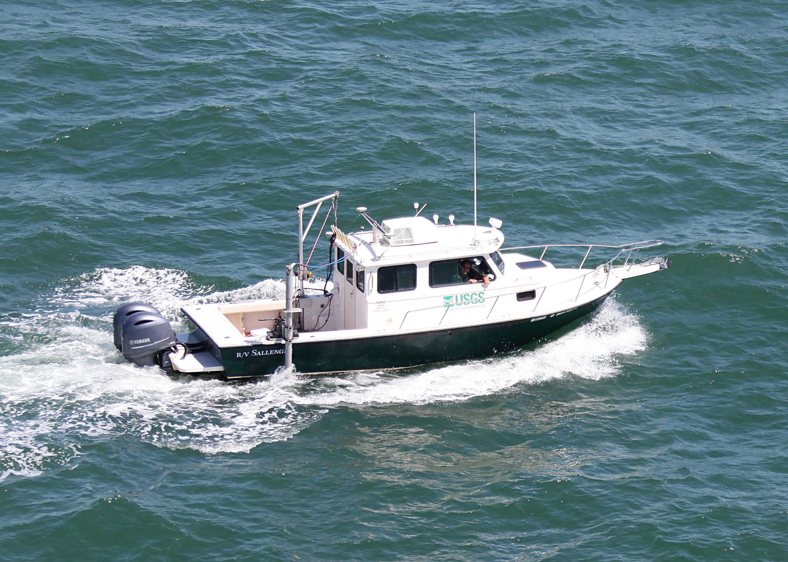
 Sallenger |
Zawada, D.G., Netchy, K.H., Resnick, J.P., 2016, Distribution of benthic habitats at Crocker Reef, Florida, 2014: U.S. Geological Survey data release, https://doi.org/10.5066/F77942T0.
Zawada, D.G., Thornton, L., Thompson, P., Resnick, J., 2016, ATRIS seafloor images â Crocker Reef, Florida, 2014: U.S. Geological Survey data release, https://doi.org/10.5066/F7SF2T9Z.
| Survey Equipment | Survey Info | Data Type(s) | Data Collected |
|---|---|---|---|
| Other | --- | --- | --- |
| Along Track Reef Imaging System (ATRIS) - Shallow | Standard shallow ATRIS configuration | Surveys (biological) Photo Video Navigation Profiles | CRKR2014_HABITAT.zip (Habitat map shapefile for Crocker Reef, Florida) |