AKA: none
Other ID: W-01-14-SP
Status: Completed
Organization(s): USGS, Pacific Coastal and Marine Science Center
Funding Program(s): Other (Other)
Principal Investigator(s): Ann Gibbs
Affiliate Investigator(s):
Information Specialist(s): Ann Gibbs, Gerry Hatcher
Data Type(s): Imagery: Video, Location-Elevation: Navigation, Sonar: Sidescan, Sonar: Single Beam
Scientific Purpose/Goals: Collect high-resolution bathymetry, backscatter, and seafloor imagery for benthic habitat/seafloor characterization.
Vehicle(s): None
Start Port/Location: Faga`alu Bay, American Samoa
End Port/Location: Faga`alu Bay, American Samoa
Start Date: 2014-03-03
End Date: 2014-03-08
Equipment Used: BOB sled, GoPro, Garmin, Humminbird
Information to be Derived: Bathymetry, backscatter, video imagery, photographs
Summary of Activity and Data Gathered: Data files on FAD. Collected Humminbird acoustic backscatter and bathymetry, and seafloor video using BOBsled and GoPro cameras, within Faga`alu Bay, American Samoa
Staff: Ann Gibbs, Gerry Hatcher
Affiliate Staff:
Notes: Will be using a NPS Whaler, kayaks, and walking.
Location:
American Samoa
| Boundaries | |||
|---|---|---|---|
| North: -14.2836 | South: -14.2964 | West: -170.683 | East: -170.6697 |
Platform(s):
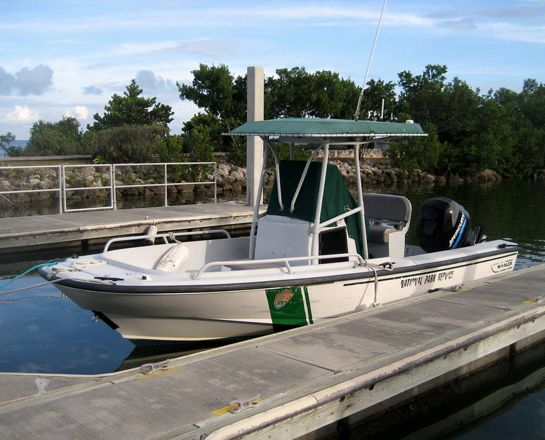 Boston whaler (NPS) | 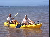 Kayak |
Cochran, S.A., Gibbs, A.E., D'Antonio, N.L., and Storlazzi, C.D., 2016, Benthic habitat map of U.S. Coral Reef Task Force Fagaʻalu Bay priority study area, Tutuila, American Samoa: U.S. Geological Survey Open-File Report 2016-1077, 41 p.
D'Antonio, N.L., and Gibbs, A.E., 2016, Still-image frame grabs and benthic habitat interpretation of underwater video footage, March 2014, Faga`alu Bay, Tutuila Island, American Samoa: U.S. Geological Survey data release.
Gibbs, A.E., and D'Antonio, N.L., 2016, Underwater video footage, March 2014, Faga`alu Bay, Tutuila Island, American Samoa: U.S. Geological Survey data release.
FAN 2014-604-FA has data viewable in the CMGP Video and Photograph Portal. View the data in this application here. See the instructions for working with this application.
| Survey Equipment | Survey Info | Data Type(s) | Data Collected |
|---|---|---|---|
| BOB sled | --- | Photo Video | underwater video video frame grab (published on Science Base; U.S. Geological Survey data release, DOI: 10.5066/F7N877V1) video data (published on Science Base; U.S. Geological Survey data release, DOI:10.5066/F70V89V6.) Still-image frame grab |
| GoPro | --- | Video | |
| Garmin | --- | Navigation | |
| Humminbird | --- | Sidescan Single Beam |
