Other ID: none
Status: Completed
Organization(s): USGS, St. Petersburg Coastal and Marine Science Center
Funding Program(s): Lostman's Shark Rver - NPS (MN000AZ)
Principal Investigator(s): Mark Erik Hansen
Affiliate Investigator(s): Jordan Barr - National Park Service (NPS), Everglades National Park (ENP)
Information Specialist(s): Nancy DeWitt
Data Type(s): Location-Elevation: Navigation, Sonar: Interferometric, Sonar: Sound Velocity
Scientific Purpose/Goals: To perform an interferometric swath bathymetric survey of Lostmans River and unmapped portions of the Shark River. The goal is to merge this data with previous swath surveys in this area for complete bathymetry coverage. This effort is needed for resource management and hydrologic modeling work in ENP.
Vehicle(s):
Start Port/Location: Flamingo, FL
End Port/Location: Flamingo, FL
Start Date: 2015-03-15
End Date: 2015-03-21
Equipment Used: Collapsible Tripod, Ashtech Z-Xtreme DGPS, Choke Ring Antenna, F190 DGPS/IMU, Garmin GPS, Interferometric Bathymetry System, Valeport SVP
Information to be Derived: Georeferenced XYZ point data and database readable by ArcGIS software.
Summary of Activity and Data Gathered:
Staff: Nancy DeWitt, Joseph Fredericks, Mark Erik Hansen, Stanley Locker, Dana Wiese, Other
Affiliate Staff:
Notes:
Location:
Everglades National Park (ENP), specifically Lostman's River and portions of Shark River
| Boundaries | |||
|---|---|---|---|
| North: 25.61676284 | South: 25.33218176 | West: -81.2439 | East: -80.99270969 |
Platform(s):
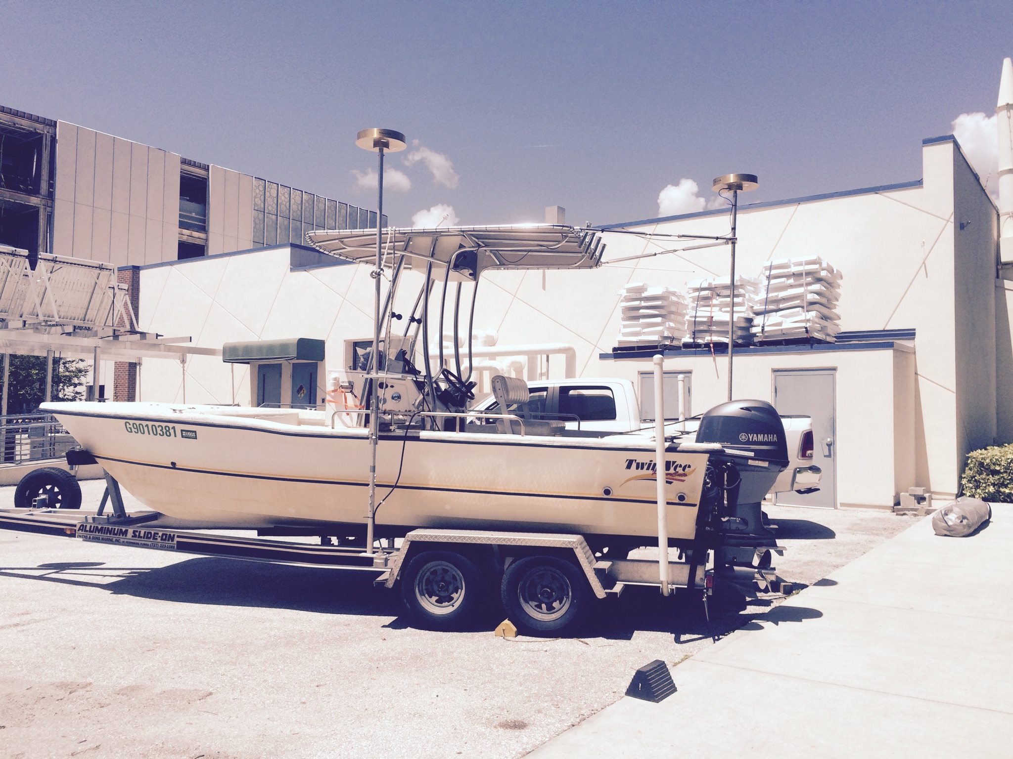
 Twin Vee (Jabba Jaw) |
Hansen, M.E., DeWitt, N.T., Reynolds, B.J., 2017, Archive of bathymetry data collected in South Florida from 1995 to 2015: U.S. Geological Survey Data Series 1031, https://doi.org/10.3133/ds1031.
| Survey Equipment | Survey Info | Data Type(s) | Data Collected |
|---|---|---|---|
| Collapsible Tripod | --- | Benchmarks Navigation Profiles Transects | |
| Ashtech Z-Xtreme DGPS | --- | Benchmarks Navigation | |
| Choke Ring Antenna | --- | Benchmarks Navigation | |
| F190 DGPS/IMU | --- | Navigation | |
| Garmin GPS | --- | Navigation | |
| Interferometric Bathymetry System | --- | Interferometric | DS1031-SWRivers2015-LostmansR_WGS84_NAVD88-G12a_SWATH_shp.xyz.zip (Interferometric swath soundings in Esri point shapefile format.) DS1031-SWRivers2015-LostmansR_NAD83_NAVD88-G12a.grid.zip (Bathymetric grid in Esri ASCII grid format.) DS1031-SWRivers2015-LostmansR_WGS84_NAVD88-G12a_SWATH_txt.xyz.zip (Interferometric swath soundings in comma-delimited text format.) DS1031-SWRivers2015-LSharkR_NAD83_NAVD88-G12a.grid.zip (Bathymetric grid in Esri ASCII grid format.) DS1031-SWRivers2015-LSharkR_WGS84_NAVD88-G12a_SWATH_shp.xyz.zip (Interferometric swath soundings in Esri point shapefile format.) DS1031-SWRivers2015-LSharkR_WGS84_NAVD88-G12a_SWATH_txt.xyz.zip (Interferometric swath soundings in comma-delimited text format.) |
| Valeport SVP | --- | Sound Velocity |