Other ID: 15BIM05, 15BIM06, 15BIM07, 15BIM08
Status: Completed
Organization(s): USGS, St. Petersburg Coastal and Marine Science Center
Funding Program(s): Barrier Island Comprehensive Monitoring - BICM (GR.20.MN00.FT954.00)
Principal Investigator(s): James Flocks
Affiliate Investigator(s):
Information Specialist(s): Nancy DeWitt, Kyle Kelso, Chelsea Stalk
Data Type(s): Location-Elevation: Benchmarks, Location-Elevation: Navigation, Seismics: Sub Bottom Profiler, Sonar: Single Beam, Sonar: Sound Velocity
Scientific Purpose/Goals: Collect single beam bathymetry along the Louisiana coastline from Point Au Fer to Raccoon Island, Louisiana.
Vehicle(s): Rental Vehicle, Chevy Suburban Silver
Start Port/Location: Houma, LA
End Port/Location: Houma, LA
Start Date: 2015-07-20
End Date: 2015-08-07
Equipment Used: Choke Ring Antenna, Other, Other, Chirp 424, Ashtech ProFlex 500 GNSS Receiver, Ashtech ProFlex 800 GNSS Receiver, ODOM-Echotrac CV-100, Castaway-CTD, Valeport SVP
Information to be Derived: Single beam bathymetry and sub-bottom profiles, if time permits.
Summary of Activity and Data Gathered: Single beam bathymetry lines (280 = 1.068 kilometers (km));sub-bottom profiles (38) ; sound velocity profiles (41)
Staff: Nancy DeWitt, James Flocks, Joseph Fredericks, Kyle Kelso, Stanley Locker, Billy Reynolds
Affiliate Staff:
Notes: Sub FANs:
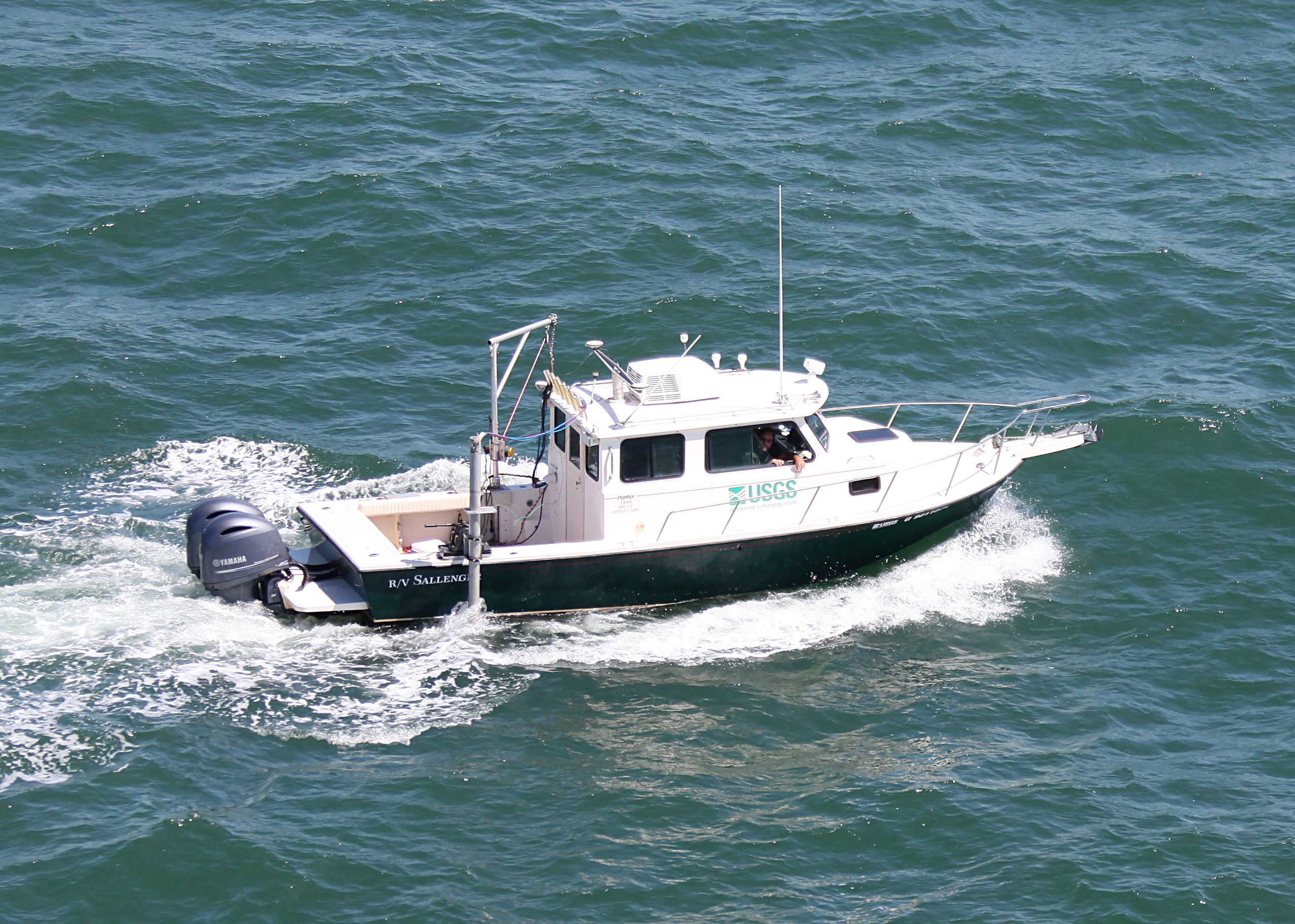
15BIM05 = Sallenger - SBB + chirp
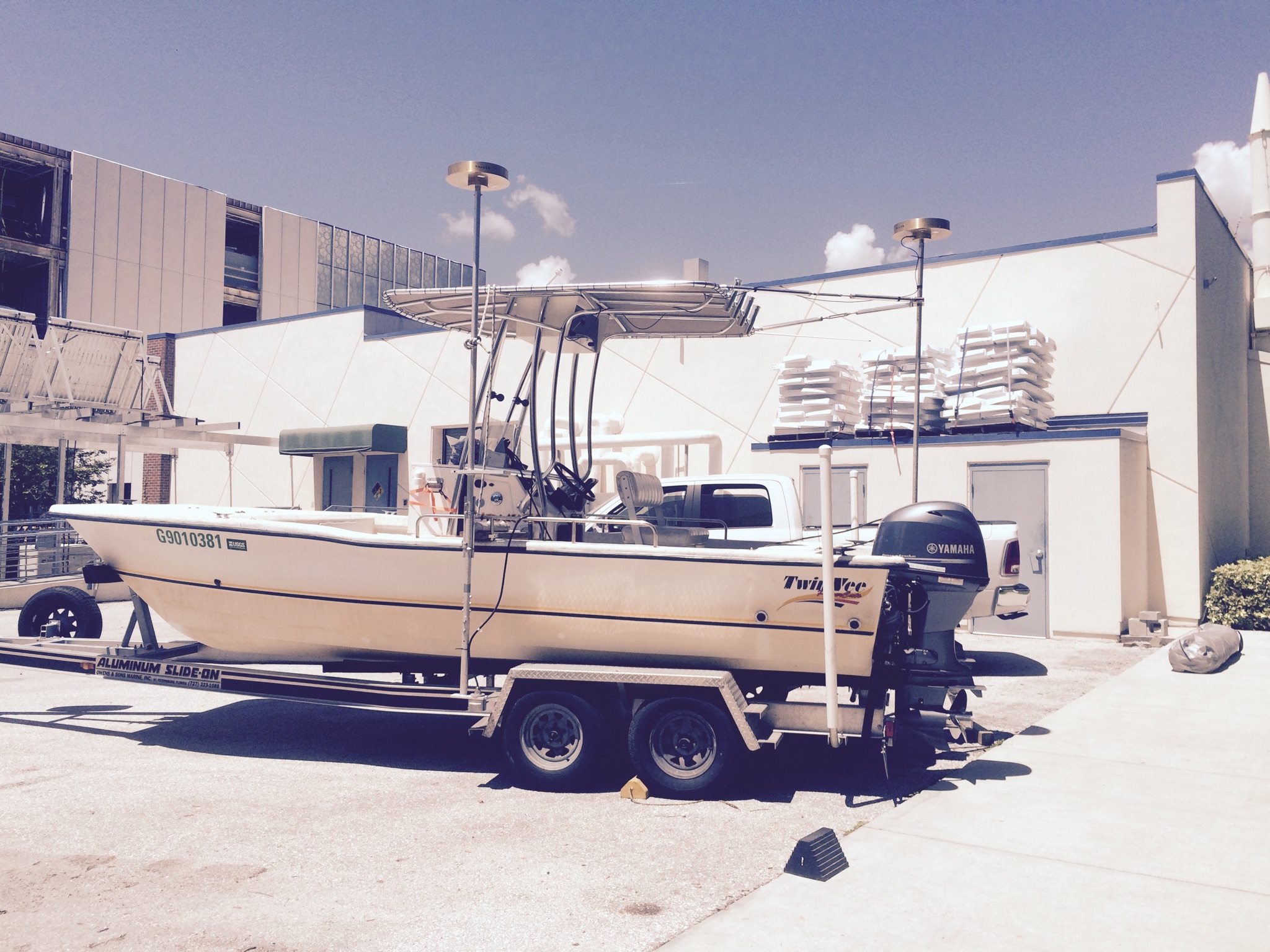
15BIM06 = TwinVee - SBB
15BIM07 = WVR1 (White = Shark) - SBB
15BIM08 = WVR2 (Blue = Chum) - SBB
Location:
Point Au Fer, LA
| Boundaries | |||
|---|---|---|---|
| North: 29.42449732 | South: 29.17024364 | West: -91.3966 | East: -91.16174233 |
Platform(s):
 Twin Vee (Jabba Jaw) |  Personal Water Craft (Blue WVR2 - Chum) |  Personal Water Craft (White WVR1 - Shark) |  Sallenger |
Stalk, C.A., DeWitt, N.T., Kindinger, J.L., Flocks, J.G., Reynolds, B.J., Kelso, K.W., Fredericks, J.J., Tuten, T.M., 2017, Coastal single-beam bathymetry data collected in 2015 from Raccoon Point to Point Au Fer Island, Louisiana: U.S. Geological Survey Data Series 1041, https://doi.org/10.3133/ds1041.
| Survey Equipment | Survey Info | Data Type(s) | Data Collected |
|---|---|---|---|
| Choke Ring Antenna | --- | Benchmarks Navigation | |
| Other | --- | --- | --- |
| Other | --- | --- | --- |
| Chirp 424 | --- | Sub Bottom Profiler | |
| Ashtech ProFlex 500 GNSS Receiver | --- | Benchmarks Navigation | |
| Ashtech ProFlex 800 GNSS Receiver | --- | Benchmarks Navigation | |
| ODOM-Echotrac CV-100 | --- | Single Beam | 15BIM07_SBB_Tracklines.zip (Single-beam tracklines, R/V Shark ) PAF_2015_GIS.zip (Esri ArcGIS project) 15BIM05_SBB_XYZ.zip (Single-beam soundings, R/V Sallenger ) 15BIM05_SBB_Tracklines.zip (Single-beam tracklines, R/V Sallenger) 15BIM06_SBB_Tracklines.zip (Single-beam tracklines, R/V Jabba Jaw) 15BIM06_SBB_XYZ.zip (Single-beam soundings, R/V Jabba Jaw) 15BIM07_SBB_XYZ.zip (Single-beam soundings, R/V Shark ) 15BIM08_SBB_Tracklines.zip (Single-beam tracklines, R/V Chum ) PAF_200m_DEM.zip (Bathymetry DEM 200-m cell size) 15BIM08_SBB_XYZ.zip (Single-beam soundings, R/V Chum) |
| Castaway-CTD | --- | Sound Velocity | |
| Valeport SVP | --- | Sound Velocity |