Other ID: 15BIM09
Status: Completed
Organization(s): USGS, St. Petersburg Coastal and Marine Science Center
Funding Program(s): Alabama Barrier Island Restoration Feasibility Study - Bathymetry and Geophysical Surveys (GR.19.MN00.G1V21.00)
Principal Investigator(s): Christopher Smith
Affiliate Investigator(s):
Information Specialist(s): Marci Marot, Billy Reynolds, Christopher Smith
Data Type(s): Environmental Data: Conductivity, Environmental Data: Dissolved Oxygen, Environmental Data: ORP, Environmental Data: pH, Environmental Data: Pressure, Environmental Data: Temperature, Imagery: Photo, Location-Elevation: Navigation, Sampling: Geology
Scientific Purpose/Goals: To collect baseline sediment information for offshore regions and back-barrier regions of Dauphin Island.
Vehicle(s): White Dodge Pickup - White, Ford F-350 Dually Silver (GSA)
Start Port/Location: St. Petersburg, FL
End Port/Location: St. Petersburg, FL
Start Date: 2015-08-11
End Date: 2015-08-21
Equipment Used: YSI Professional Plus multiparameter meter, Ashtech Z-Xtreme DGPS, Bottom Grab Sampler, Other
Information to be Derived: Sediment texture for surface samples extending from offshore Dauphin Island and into the back-barrier areas.
Summary of Activity and Data Gathered: Bottom grab samples and collection site imagery.
Staff: Alisha Ellis, Marci Marot, Paul Nelson, Billy Reynolds, Christopher Smith, Cathryn Wheaton
Affiliate Staff:
Notes: Other equipment: WHCMSC MiniSEABOSS
Additional staff: Dann Blackwood (WHCMSC)
Sediment Samples are staged to be archived and are on the East Wall of the Sed Lab as of July 18th, 2018.
Location:
Dauphin Island, Alabama
| Boundaries | |||
|---|---|---|---|
| North: 30.29701788 | South: 30.12284185 | West: -88.3575 | East: -88.02897135 |
Platform(s):
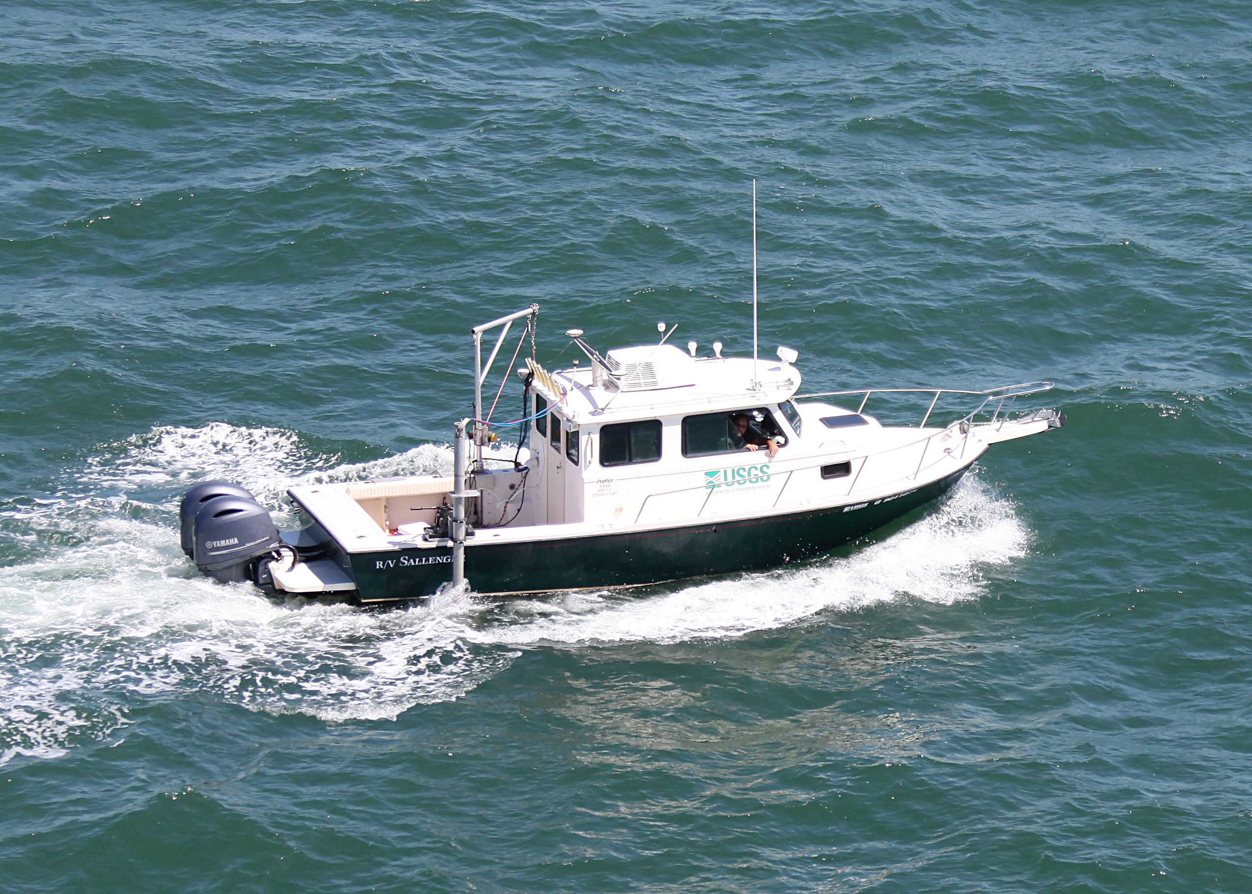
 Mako (SP) |  Sallenger |
Ellis, A.M., Marot, M.E., Smith, C.G., Wheaton, C.J., 2017, The physical characteristics of the sediments on and surrounding Dauphin Island, Alabama: U.S. Geological Survey Data Series 1046, https://doi.org/10.3133/ds1046.
Ellis, A.M., Smith, C.G., Marot, M.E., 2018, The sedimentological characteristics and geochronology of the marshes of Dauphin Island, Alabama: U.S. Geological Survey Open-File Report 2017-1165, https://doi.org/10.3133/ofr20171165.
Ellis, A.M., Smith, C.G., Marot, M.E., 2018, The sedimentological characteristics and geochronology of the marshes on Dauphin Island, Alabama: U.S. Geological Survey data release, https://doi.org/10.5066/F7VM49J0.
Ellis, A.M., Zaremba, N.J., Wheaton, C.J., Vargas, J.M., Smith, C.G.S., Jenkins, R.L., 2024, Detailed Grain-Size Data of Estuarine, Barrier Island, and Shoreface Environments Around Dauphin Island, Alabama, USA: U.S. Geological Survey data release, https://doi.org/10.5066/P14RPHBB.
Haller, C., Osterman, L.E., Smith, C.G., McCloskey, T.A., Adams, C.S., 2018, Benthic foraminiferal data from the Eastern Mississippi Sound salt marshes and estuaries: U.S. Geological Survey data release, https://doi.org/10.5066/F7MC8X5F.
Haller, C., Smith, C.G., Hallock, P., Hine, A.C., Osterman, L.E., McCloskey, T., 2019, Distribution of Modern Salt-marsh Foraminifera from the Eastern Mississippi Sound, U.s.a: Journal of Foraminiferal Research, v. 49 no. 1, pp. 29–47, doi: 10.2113/gsjfr.49.1.29.
Haller, C., Smith, C.G., McCloskey, T.A., Marot, M.E., Ellis, A.M., Adams, C.S., 2018, Benthic foraminiferal data from sedimentary cores collected in the Grand Bay (Mississippi) and Dauphin Island (Alabama) salt marshes: U.S. Geological Survey data release, https://doi.org/10.5066/F7445KSG.
| Survey Equipment | Survey Info | Data Type(s) | Data Collected |
|---|---|---|---|
| YSI Professional Plus multiparameter meter | --- | Conductivity Depth Dissolved Oxygen Nitrate ORP pH Temperature | 15BIM09-DA_M_Water_Parameters.zip (Salinity, pH, temperature ) 15BIM09-DA-YSI_Data (water quality data results from surface sediments collected on and around Dauphin Island in August 2015 with the YSI. The data includes sample ID, temperature, pressure, dissolved oxygen, specific conductance, salinity, pH, and oxidation reduction potential.) |
| Ashtech Z-Xtreme DGPS | --- | Benchmarks Navigation | 15BIM09-DA_M_Site_Information.zip (Latitude, longitude, elevation, vegetation, core length, and compaction (.csv and .xlsx). ) 15BIM09-DA-Site_Information.csv (includes all site information for each land and water surface sample collected during the August 2015 sampling trip) |
| Bottom Grab Sampler | --- | Biology Geology | 15BIM09-DA-Sediment Parameters (Physical sediment parameter data) 15BIM09-DA_M_Alpha_Spectroscopy.zip (Total Lead-210 and estimated Radium-226 activity and error ) 15BIM09-DA_M_Grain-Size.zip (Mean, D50, sorting, skewness, kurtosis, percent sand, silt and clay) 15BIM09-DA-Sediment_Parameters.csv (bulk lithologic analysis results from surface sediments collected on and around Dauphin Island in August 2015) 15BIM09-DA-Compiled_Grain_Size_Data (particle size analysis results from on and around Dauphin Island, Alabama, collected August 12 - 20, 2015) Detailed_Grain_Size_Data (Detailed grain-size textural data not originally reported in Data Series 1046) 15BIM09-DA_M_Sediment_Physical_Properties.zip (Porosity, water content, bulk density, loss on ignition ) 15BIM09-DA_Marsh_Shear_Vane.zip (Shear vane values for marsh sites) |
| Other | --- | --- | --- |