AKA: CCE AUV repeat mapping 1
Other ID: none
Status: Completed
Organization(s): Other
Funding Program(s): Sediment Transport in Coastal Environments (ZP00FDB)
Principal Investigator(s): Katherine Coble
Affiliate Investigator(s): David W. Caress (MBARI)
Information Specialist(s): Katherine Coble
Data Type(s): Location-Elevation: Navigation
Scientific Purpose/Goals: To use the MBARI AUV in a series of repeat mapping surveys to collect high-resolution multibeam bathymetry of the Monterey Canyon axial channel as part of the Coordinated Canyon Experiment
Vehicle(s): None
Start Port/Location: Moss Landing, CA
End Port/Location: Moss Landing, CA
Start Date: 2015-11-04
End Date: 2015-11-06
Equipment Used: navigation
Information to be Derived: AUV multibeam bathymetry, chirp sub-bottom profiles, sidescan sonar
Summary of Activity and Data Gathered: MBARI will be the primary repository of data. Repeat mapping AUV surveys in the upper and lower canyon associated with the CCE
Staff:
Affiliate Staff:
Notes: Data will be archived at MBARI. WinFrog nav.
Location:
Monterey Canyon, Monterey Bay, California, United States, Pacific Ocean
| Boundaries | |||
|---|---|---|---|
| North: 36.89441222 | South: 36.66450226 | West: -122.388 | East: -121.77670627 |
Platform(s):
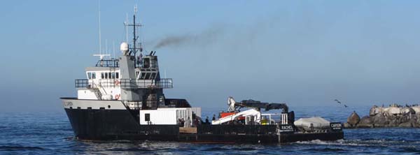 Rachel Carson (MBARI) |
Maier, K.L., Paull, C.K., Brothers, D.S., Caress, D.W., McGann, M., Lundsten, E.M., Anderson, K., and Gwiazda, R., 2017, Investigation of Late Pleistocene and Holocene Activity in the San Gregorio Fault Zone on the Continental Slope North of Monterey Canyon, Offshore Central California: Bulletin of the Seismological Society of America, v. 107 no. 3, pp. 1094–1106, doi: 10.1785/0120160261.
| Survey Equipment | Survey Info | Data Type(s) | Data Collected |
|---|---|---|---|
| navigation | --- | Navigation |
