Other ID: none
Status: Completed
Organization(s): USGS, Woods Hole Coastal and Marine Science Center
Funding Program(s): Marine Geohazards Sources and Probability (LQ00ENR)
Principal Investigator(s): Nathaniel Miller, Uri Ten Brink
Affiliate Investigator(s): John Collins, WHOI
Information Specialist(s): Claudia Flores
Data Type(s): Location-Elevation: Navigation, Seismics: Ocean Bottom Seismometer
Scientific Purpose/Goals: Relocate earthquakes; map the shape of the downgoing slab
Vehicle(s):
Start Port/Location: San Juan, Puerto Rico
End Port/Location: San Juan, Puerto Rico
Start Date: 2016-04-15
End Date: 2016-05-31
Equipment Used: DGPS, Other, Ocean Bottom Seismometer
Information to be Derived: Recording of local and teleseismic earthquakes
Summary of Activity and Data Gathered: Recovered 6 broadband OBS that had been deployed in May 2015.
Staff: Nathaniel Miller
Affiliate Staff:
Notes: Recovery of 6 broad-band OBS on the M/V Umbra.
Location:
Puerto Rico Trench, Northeast Caribbean, Atlantic Ocean
| Boundaries | |||
|---|---|---|---|
| North: 19.5 | South: 18.5 | West: -68 | East: -64 |
Platform(s):
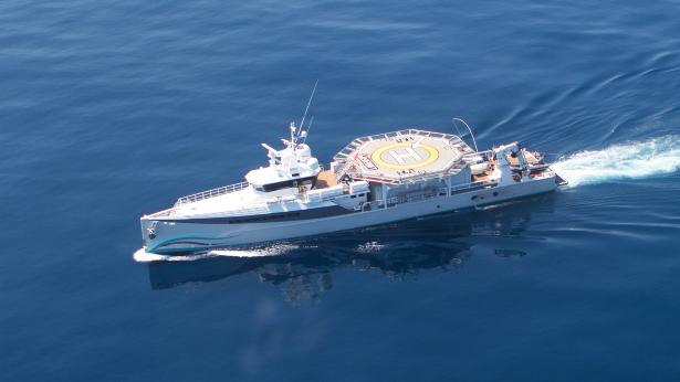 Umbra |
Flores, C.H., 2024, High resolution double-difference relocations of earthquakes in and offshore Puerto Rico and Virgin Islands during the deployment of ocean bottom seismometers from mid-2015 to mid-2016: U.S. Geological Survey data release, https://doi.org/10.5066/P13485PX.
| Survey Equipment | Survey Info | Data Type(s) | Data Collected |
|---|---|---|---|
| DGPS | --- | Navigation | |
| Other | --- | --- | --- |
| Ocean Bottom Seismometer | --- | Ocean Bottom Seismometer |
