Other ID: none
Status: Completed
Organization(s): USGS, Woods Hole Coastal and Marine Science Center
Funding Program(s): USGS GAS HYDRATES (LQ000FP)
Principal Investigator(s): Carolyn Ruppel
Affiliate Investigator(s):
Information Specialist(s): Wayne Baldwin
Data Type(s): Location-Elevation: Navigation, Sonar: Multibeam, Sonar: Single Beam
Scientific Purpose/Goals: Science verification cruise for the R/V Armstrong, surveying new seeps etc.
Vehicle(s):
Start Port/Location: Charleston, SC
End Port/Location: Norfolk, VA
Start Date: 2016-03-17
End Date: 2016-03-27
Equipment Used: Simrad EK80, Other, DGPS, EM122 12 kHz multibeam
Information to be Derived: bathymetry, methane plume characteristics in the water column
Summary of Activity and Data Gathered: Multibeam Echosounder: Acquired ~2672 line kms of multibeam bathymetry and backscatter using Kongsberg EM122 and EM712. Total sea floor coverage ~ 3236 km2. Single Beam Scientific Echosounder: Acquired ~ 2672 line kms of water column sonar using a Simrad EK80 (38-kHz)
Staff: Wayne Baldwin, William Danforth
Affiliate Staff:
Notes: This was science verification for the R/V Armstrong based on a small proposal that Ruppel wrote with Lizarralde. Danforth and Baldwin were shipboard and collected EK80, EM710, and EM122 data.
Additional data sets from R/V Neil Armstrong Science Verification Leg 2 AR1-06 are available from the rolling deck repository at: http://www.rvdata.us/catalog/AR1-06
Location:
Atlantic margin, Charleston to Baltimore Canyon
| Boundaries | |||
|---|---|---|---|
| North: 37.682044 | South: 32.654336 | West: -79.936097 | East: -74.015571 |
Platform(s):
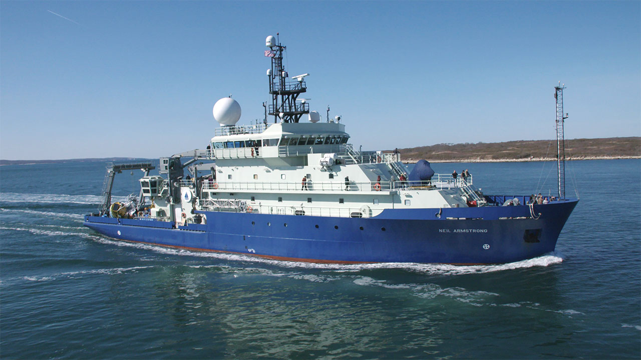 Neil Armstrong |
| Survey Equipment | Survey Info | Data Type(s) | Data Collected |
|---|---|---|---|
| Simrad EK80 | --- | Water column reflectivity Multibeam | |
| Other | --- | --- | --- |
| DGPS | --- | Navigation | |
| EM122 12 kHz multibeam | --- | Multibeam |
