Other ID: 16CCT07
Status: Completed
Organization(s): USGS, St. Petersburg Coastal and Marine Science Center
Funding Program(s): Sea-level and Storm Impacts on Estuarine Environments and Shorelines - SSIEES (GX.18.MN00.F1M10.00)
Principal Investigator(s): Nicole Khan, Kathryn Smith
Affiliate Investigator(s):
Information Specialist(s): Chelsea Stalk
Data Type(s): Location-Elevation: Benchmarks, Sampling: Geology
Scientific Purpose/Goals: To deploy sediment tracers and sediment traps at erosion monitoring sites within Grand Bay marshes.
Vehicle(s): White Dodge Pickup - White
Start Port/Location: St Petersburg, FL
End Port/Location: St Petersburg, FL
Start Date: 2016-10-18
End Date: 2016-10-25
Equipment Used: Water Level Recorder, Choke Ring Antenna, Push Corer
Information to be Derived: Marsh surface elevation, water level readings
Summary of Activity and Data Gathered: Eight marsh sediment cores were collected with elevation data. Sedimentation plates were deployed. Four water level loggers were deployed. Two NTUs, one dwave, and one birdcam were also deployed.
Staff: Nicole Khan, Kathryn Smith, Chelsea Stalk
Affiliate Staff:
Notes:
Location:
Grand Bay, MS
| Boundaries | |||
|---|---|---|---|
| North: 30.43683405 | South: 30.33391864 | West: -88.4564209 | East: -88.36181641 |
Platform(s):
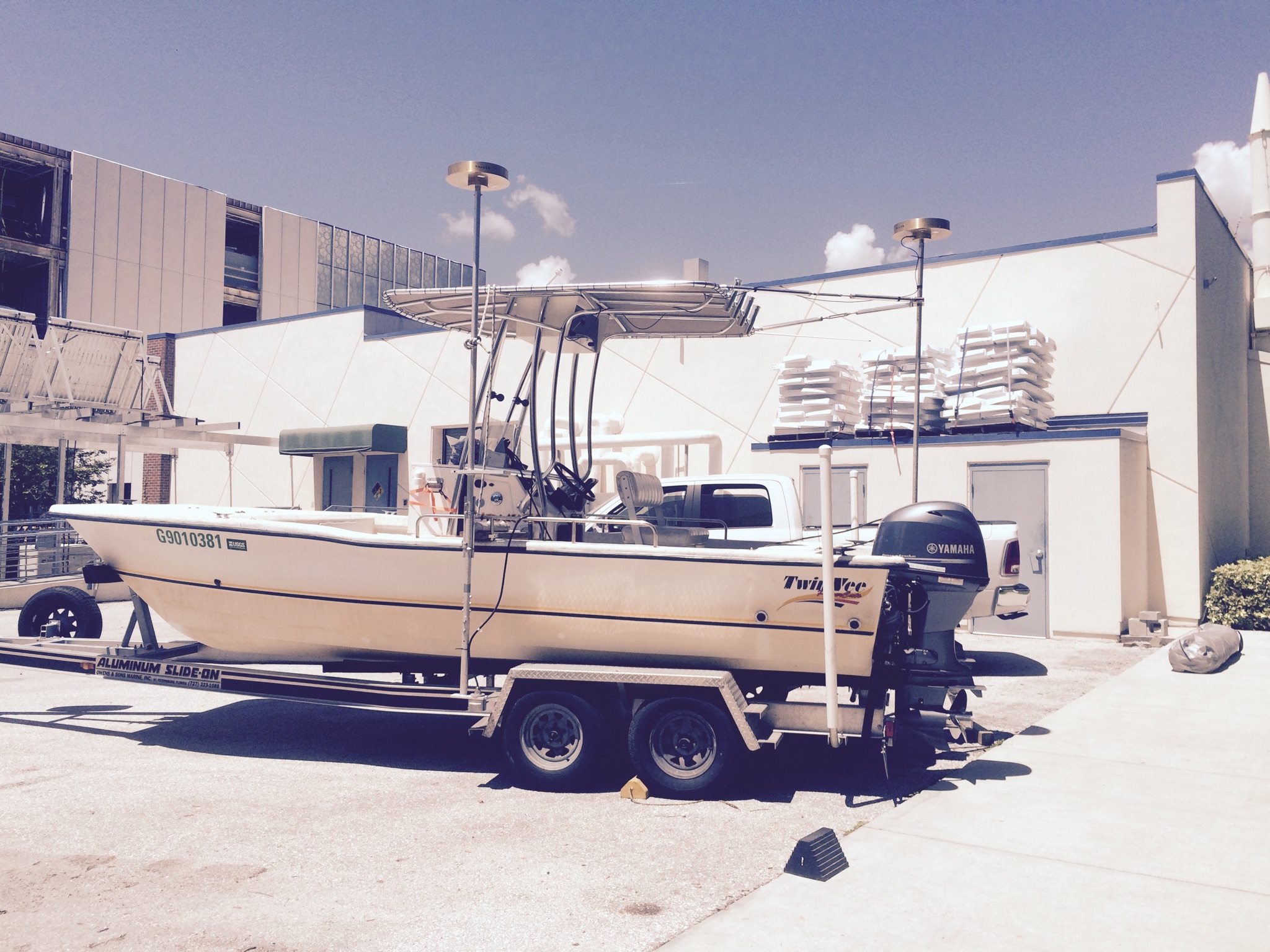
 22-ft Twin Vee (R/V G. Hill) |
Ellis, A.M., Jacobs, J.A., Smith, K.E.L., Atchia, I., and Smith, C.G., 2021, Sediment core microfossil data collected from the coastal marsh of Grand Bay National Estuarine Research Reserve, Mississippi, USA: U.S. Geological Survey data release, https://doi.org/10.5066/F7X63K24.
Ellis, A.M., Smith, C.G., Smith, K.E.L., Jacobs, J.A., 2024, Identifying and Constraining Marsh-Type Transitions in Response to Increasing Erosion over the Past Century: Estuaries and Coasts, v. 47 no. 3, pp. 701–723, doi: 10.1007/s12237-023-01320-9.
Jenkins, R.L., III, Passeri, D.L., Smith, C.G., Thompson, D.M., 2023, Modeling the Effects of Interior Headland Restoration on Estuarine Sediment Transport Processes in a Marine-Dominant Estuary: Delft3D Model Output: U.S. Geological Survey data release, https://doi.org/10.5066/P986ZR6B.
Jenkins, R.L., Passeri, D.L., Smith, C.G., Thompson, D.M., Smith, K.E.L., 2023, Modeling the effects of interior headland restoration on estuarine sediment transport processes in a marine-dominant estuary: Frontiers in Marine Science, v. 10, doi: 10.3389/fmars.2023.1217830.
Marot, M.E., Smith, C.G., McCloskey, T.A., Locker, S.D., Khan, N.S., Smith, K.E.L., 2020, Sedimentary data from Grand Bay, Alabama/Mississippi, 2014-2016 (Version 1.1): U.S. Geological Survey data release, https://doi.org/10.5066/P9FO8R3Y.
Marot, M.E., Smith, C.G., McCloskey, T.A., Locker, S.D., Khan, N.S., Smith, K.E.L., 2019, Sedimentary Data from Grand Bay, Alabama/Mississippi, 2014-2017: U.S. Geological Survey data release, https://doi.org/10.5066/P9FO8R3Y.
Smith, C.G., Bernier, J., Ellis, A.M., Smith, K.E.L., 2025, Predictive regressive models of recent marsh sediment thickness improve the quantification of coastal marsh sediment budgets: Applied Computing and Geosciences, v. 25, 100215 p., doi: 10.1016/j.acags.2024.100215.
Smith, C.G., Ellis, A.M., 2025, Peat Thickness Measurements From Grand Bay, Mississippi and Alabama: U.S. Geological Survey data release, https://doi.org/10.5066/P13BDDHQ.
Smith, K.E.L., Terrano, J.F., Khan, N.S., Smith, C.G., Pitchford, J.L., 2021, Lateral shoreline erosion and shore-proximal sediment deposition on a coastal marsh from seasonal, storm and decadal measurements: Geomorphology, Geomorphology, v. 389, 107829 p., doi: 10.1016/j.geomorph.2021.107829.
| Survey Equipment | Survey Info | Data Type(s) | Data Collected |
|---|---|---|---|
| Water Level Recorder | Solinst water leveloggers were deployed at four sediment erosion sites (one logger at each site). Loggers were placed inside plastic wells. No data was retrieved. | Benchmarks | No data was collected |
| Choke Ring Antenna | --- | Benchmarks Navigation | |
| Push Corer | --- | Geology | 16CCT07_Foram_Counts.zip (16CCT07 sediment core foraminiferal counts and data dictionary) |