AKA: none
Other ID: none
Status: Completed
Organization(s): USGS, Pacific Coastal and Marine Science Center
Funding Program(s): Sediment Transport in Coastal Environments (ZP00FDB)
Principal Investigator(s): Katherine Coble
Affiliate Investigator(s): Chief Scientist: David W. Caress (MBARI) Charles K. Paull
Information Specialist(s): Katherine Coble
Data Type(s): Location-Elevation: Navigation
Scientific Purpose/Goals: To use the MBARI AUV in a series of repeat mapping surveys to collect high-resolution multibeam bathymetry of the Monterey Canyon axial channel as part of the Coordinated Canyon Experiment; also to locate equipment deployed in October 2015 as part of the CCE
Vehicle(s): None
Start Port/Location: Moss Landing, CA
End Port/Location: Moss Landing, CA
Start Date: 2016-03-21
End Date: 2016-03-23
Equipment Used: navigation
Information to be Derived: AUV multibeam bathymetry (all data archived at MBARI)
Summary of Activity and Data Gathered: Two repeat mapping surveys were completed and archived at MBARI. CCE equipment deployed in October 2015 was re-located.
Staff:
Affiliate Staff:
Notes: Data are archived at MBARI.
WinFrog nav on R/V Carson.
Entries for this field activity are based on entries from Field Activity 2015-621-FA
Location:
Monterey Canyon, Monterey Bay, California, United States, Pacific Ocean
| Boundaries | |||
|---|---|---|---|
| North: 36.8828428 | South: 36.62814835 | West: -122.135 | East: -121.79852295 |
Platform(s):
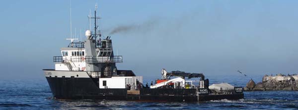 Rachel Carson (MBARI) |
| Survey Equipment | Survey Info | Data Type(s) | Data Collected |
|---|---|---|---|
| navigation | --- | Navigation |
