Other ID: none
Status: Completed
Organization(s): Other
Funding Program(s): Coastal Model Applications and Field Measurements (LQ00DYN)
Principal Investigator(s): Christopher Sherwood
Affiliate Investigator(s): James Spilsbury, Woods Hole Group
Information Specialist(s): Ellyn Montgomery
Data Type(s): Time Series: Mooring (physical oceanography)
Scientific Purpose/Goals: recover USGS waverider buoy, set Woods Hole Group waverider buoy
Vehicle(s):
Start Port/Location: Woods Hole, MA
End Port/Location: Woods Hole, MA
Start Date: 2017-10-05
End Date: 2017-10-05
Equipment Used: Sensors - other mooring
Information to be Derived: From buoy, time series of wave statistics
Summary of Activity and Data Gathered: The buoys were successfully exchanged, and original mooring recovered.
Staff: Dann Blackwood, Michael Casso, Eric Marsjanik, Marinna Martini
Affiliate Staff:
Notes: Data from this buoy is telemetered and managed by CDIP. It is available at http://cdip.ucsd.edu/?ximg=search&xsearch=221&xsearch_type=Station_ID
Woods Hole Group will be deploying their waver rider to replace our buoy, we are going along to help.
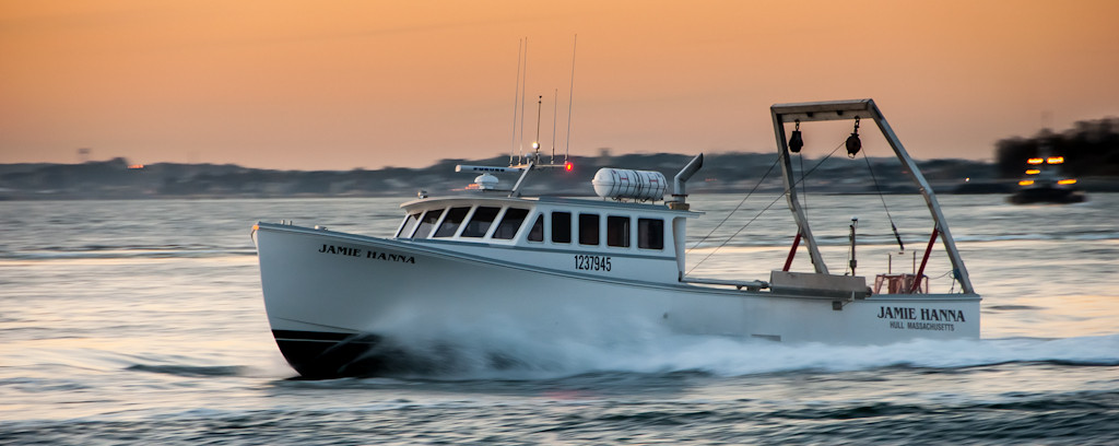
The ship will be the R/V Jamie Hanna.
Location:
Cape Cod Bay
| Boundaries | |||
|---|---|---|---|
| North: 41.90266033 | South: 41.76083581 | West: -70.5144 | East: -70.18078952 |
Platform(s):
 Jamie Hanna |
| Survey Equipment | Survey Info | Data Type(s) | Data Collected |
|---|---|---|---|
| Sensors - other mooring | --- | CTD Meteorology Temperature Mooring (physical oceanography) |
