Other ID: none
Status: Completed
Organization(s): USGS, Woods Hole Coastal and Marine Science Center
Funding Program(s): Other (Other)
Principal Investigator(s): Other
Affiliate Investigator(s): Rob Baskin, USGS Utah Water Science Center
Information Specialist(s): Brian Andrews
Data Type(s): Location-Elevation: Navigation, Seismics: Sub Bottom Profiler, Sonar: Multibeam, Sonar: Sound Velocity
Scientific Purpose/Goals: Collect multibeam bathymetry and sub-bottom data within Lake Powell and at the confluence of several rivers (Colorado, Escalante, San Juan)
Vehicle(s):
Start Port/Location: Salt Lake City, Utah
End Port/Location: Salt Lake City, Utah
Start Date: 2017-10-03
End Date: 2017-11-17
Equipment Used: HYPACK, POS-MV, EdgeTech 424 chirp sub-bottom profiler, Reson T20-P, Sensor - SVP
Information to be Derived: Bathymetry, backscatter and sub-bottom data will be collected.
Summary of Activity and Data Gathered: Covered 331 square kilometers of Lake Powell UT/AZ using the R/V Stephens (23' SeaArk) owned by Utah Water Science Center, in Salt Lake, City. Collected bathymetry and backscatter data along 2407 kilometers of lines using a Dual-head Reson T20-P. Collected 92 kms of EdgeTech 424 data in the northeast portions of the lake at confluence of Colorado and San Juan Rivers.
Staff: Brian Andrews, Wayne Baldwin, David Foster, Barry Irwin, Eric Moore, Alexander Nichols, Charles Worley
Affiliate Staff:
Notes: Leg 1 (Worley, Baldwin, Baskin, Irwin) operated out of Bullfrog UT, Leg 2 operated (Andrews, Foster, Moore, Nichols) out of Page, AZ.
Location:
Lake Powell, Utah
| Boundaries | |||
|---|---|---|---|
| North: 37.8403 | South: 36.8855 | West: -111.5617 | East: -110.4195 |
Platform(s):
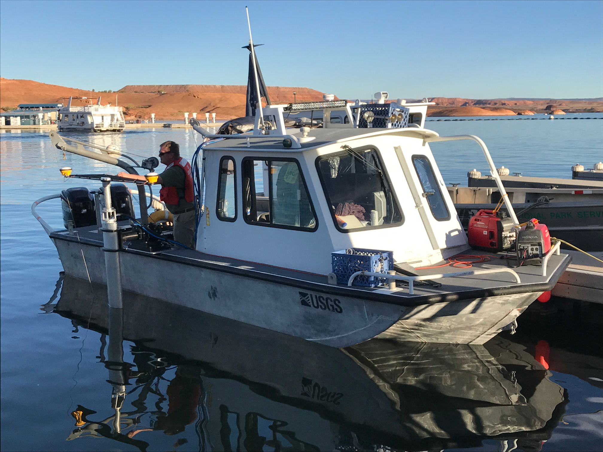 Stephens |
Andrews, B.D., Baldwin, W.E., Worley, C.R., Baskin, R.L., Denny, J.F., Foster, D.S., Irwin, B.J., Moore, E.M., and Nichols, A.R., 2018, High-resolution geophysical data collected in Lake Powell, Utah-Arizona, U.S. Geological Survey Field Activity 2017-049-FA: U.S. Geological Survey data release, https://doi.org/10.5066/P90BU2VS.
| Survey Equipment | Survey Info | Data Type(s) | Data Collected |
|---|---|---|---|
| HYPACK | --- | Navigation | |
| POS-MV | --- | Navigation | |
| EdgeTech 424 chirp sub-bottom profiler | --- | Sub Bottom Profiler | 2017-049-FA_Edgetech424_shot-nav (Seismic Reflection, EdgeTech SB-424 chirp shot points collected within Lake Powell, UT-AZ during USGS field activity 2017-049-FA (CSV text and Esri point shapefile, GCS WGS 84)) 2017-049-FA_EdgeTech424_Images (Seismic Reflection, EdgeTech SB-424 chirp profile images collected within Lake Powell, UT-AZ during USGS field activity 2017-049-FA (PNG images)) 2017-049-FA_Edgetech424_Tracklines (Seismic Reflection, EdgeTech SB-424 chirp tracklines collected within Lake Powell, UT-AZ during USGS field activity 2017-049-FA, (Esri polyline shapefile, GCS WGS 84)) |
| Reson T20-P | --- | Multibeam Water column reflectivity | 2017-049-FA_T20P_Tracklines (Multibeam Echosounder, Reson T-20P tracklines, collected within Lake Powell UT-AZ during USGS Field Activity 2017-049-FA (Esri polyline shapefile, GCS WGS 84)) 2017-049-FA_T20P_Backscatter_2m (Multibeam backscatter data collected within Lake Powell, UT-AZ during USGS Field Activity 2017-049-FA, using a dual-head Reson T20-P multibeam echosounder (8-bit GeoTIFF, UTM Zone 12N, WGS 84, 2 meter resolution)) 2017-049-FA_T20P_Bathymetry_2m (Multibeam bathymetric data collected within Lake Powell, UT-AZ during USGS Field Activity 2017-049-FA using a dual-head Reson T20-P multibeam echosounder (32-bit GeoTIFF, UTM Zone 12N, NAD 83, NAVD 88 Vertical Datum, 2-m resolution)) |
| Sensor - SVP | --- | Sound Velocity | 2017-049-FA_SVPdata (Sound Velocity Profiles, AML Minos X sound velocity profile data, collected during USGS field activity 2017-049-FA within Lake Powell, UT-AZ (PNG images, SVP text, and Esri point shapefile, GCS WGS 84)) |
