Other ID: 17TST01, 17TST02, 17TST03, 17TST04, 17TST05
Status: Completed
Organization(s): USGS, St. Petersburg Coastal and Marine Science Center
Funding Program(s): St. Petersburg Science Center Marine Operations (GX.24.MN00.0AZMO.00)
Principal Investigator(s): Christopher Reich
Affiliate Investigator(s):
Information Specialist(s): Nancy DeWitt
Data Type(s): Location-Elevation: Navigation, Location-Elevation: Profiles, Seismics: Bubble Gun, Seismics: Sub Bottom Profiler, Sonar: Multibeam, Sonar: Sidescan, Sonar: Single Beam
Scientific Purpose/Goals: Equipment testing
Vehicle(s): None
Start Port/Location: St. Petersburg, FL
End Port/Location: St. Petersburg, FL
Start Date: 2017-02-01
End Date: 2017-02-28
Equipment Used: Bubble Pulser, GPS Pole, F190 DGPS/IMU, Other, Chirp 512i, Bubble Pulser Hydrophone Streamer Cable , Generic - Echosounder, SeaBat T20 (WH), Sidescan Sonar
Information to be Derived: Equipment testing prior to summer field work.
Summary of Activity and Data Gathered: All data have been uploaded to the SFM-Working server.
Staff: Nancy DeWitt, Andrew Farmer, Joseph Fredericks, Kyle Kelso, Billy Reynolds
Affiliate Staff:
Notes: Each vessel will collect specific data types and be assigned a sub-FAN, as follows:
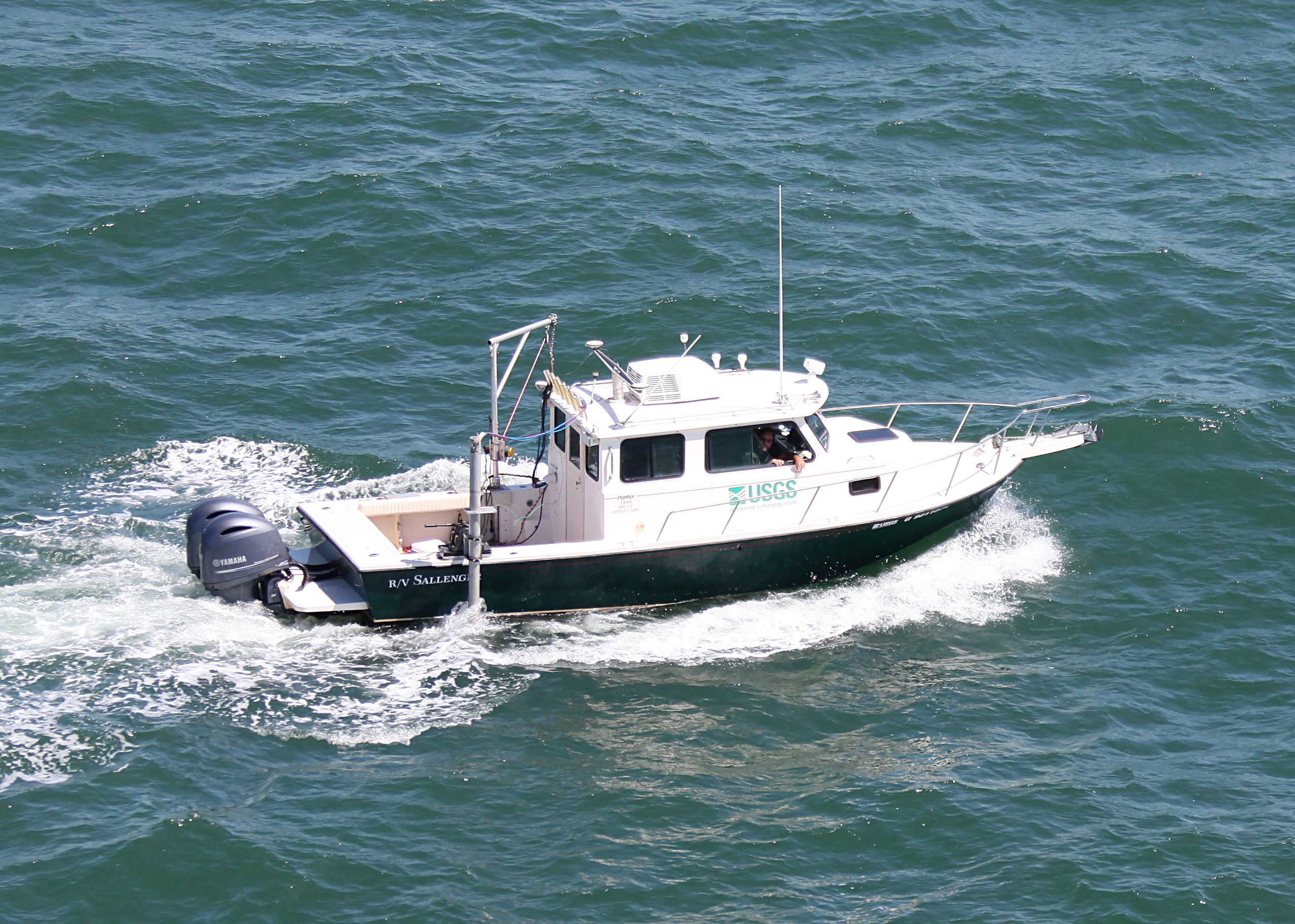
17TST01- R/V Sallenger
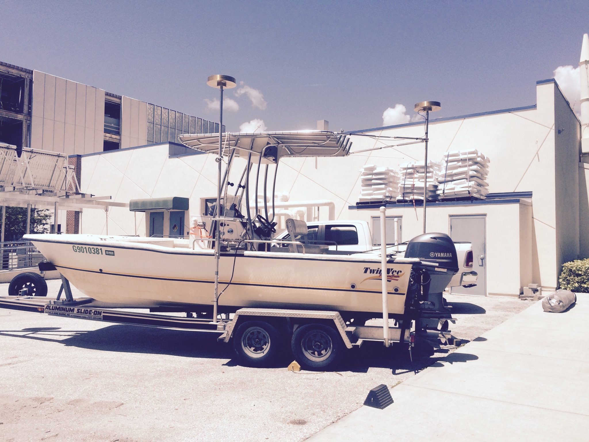
17TST02- Twin Vee
17TST03- PWC1
17TST04- PWC2
17TST05- Navigation poles and wheels
Location:
St. Petersburg, Florida
| Boundaries | |||
|---|---|---|---|
| North: 27.86138748 | South: 27.69276578 | West: -82.74627686 | East: -82.45098877 |
Platform(s):
 Personal Water Craft (Blue WVR2 - Chum) |  Personal Water Craft (White WVR1 - Shark) |  Sallenger |  Twin Vee (Jabba Jaw) |
DeWitt, N.T., Fredericks, J.J., Stalk, C.S., Reynolds, B.J., Kelso, K.W., Thompson, D.M., Farmer, A.S., Brown, J.A., 2024, Nearshore Multibeam and Single-beam Bathymetry Data: Madeira Beach, Florida, February 2017: U.S. Geological Survey data release, https://doi.org/10.5066/P9Y7R8NS.
| Survey Equipment | Survey Info | Data Type(s) | Data Collected |
|---|---|---|---|
| Bubble Pulser | --- | Bubble Gun | |
| GPS Pole | --- | Navigation Profiles Transects | |
| F190 DGPS/IMU | --- | Navigation | Madeira_Beach_2017_SBES_tracklines (Single-beam trackline shapefile in WGS84) |
| Other | --- | --- | --- |
| Chirp 512i | --- | Sub Bottom Profiler | |
| Bubble Pulser Hydrophone Streamer Cable | --- | Bubble Gun | |
| Generic - Echosounder | --- | Single Beam | Madeira_Beach_2017_SBES_xyz (Processed elevation point data (xyz) provided in both WGS84 (ITRF08) ellipsoid and NAD83 NAVD88 GEOID12B ) Madeira_Beach_2017_SBES_20m_DEM (Single-beam bathymetry DEM, 20-m cell size, in WGS84 (ITRF08)) |
| SeaBat T20 (WH) | --- | Multibeam | Madeira_Beach_2017_MBES_1m_xyz (Processed elevation point data (xyz) as derived from a 1-meter grid provided in both WGS84 (ITRF08) ellipsoid and NAD83 NAVD88 GEOID12B ) |
| Sidescan Sonar | --- | Sidescan |