Other ID: none
Status: Completed
Organization(s): USGS, St. Petersburg Coastal and Marine Science Center
Funding Program(s): Sea Level and Subsidence (GX.21.MN00.EQ540.00)
Principal Investigator(s): Stanley Locker, Lauren Toth
Affiliate Investigator(s):
Information Specialist(s): Arnell Forde, Joseph Fredericks
Data Type(s): Seismics: Bubble Gun, Sonar: Multibeam, Sonar: Sound Velocity
Scientific Purpose/Goals: To gather geologic structure information related to rock-coral sampling sites in the Miami ship channel. Acquire subbottom profiles crossing the inner shelf at the Miami ship channel. Also collect multibeam imagery.
Vehicle(s): Ford F-350 Dually White (GSA)
Start Port/Location: St. Petersburg, FL/Matheson Hammock County Park
End Port/Location: St. Petersburg, FL
Start Date: 2017-05-15
End Date: 2017-05-19
Equipment Used: Bubble Pulser, Bubble Pulser Hydrophone Streamer Cable , Multibeam Bathymetry System, Valeport SWiFT SVP
Information to be Derived: Margin and reef structure. High resolution bathymetry.
Summary of Activity and Data Gathered: Acquired swath bathymetry and subbottom imagery.
Staff: Joseph Fredericks, Stanley Locker, Hunter Wilcox
Affiliate Staff:
Notes:
Location:
Miami, FL
| Boundaries | |||
|---|---|---|---|
| North: 25.79517731 | South: 25.73307488 | West: -80.15350342 | East: -80.03786621 |
Platform(s):
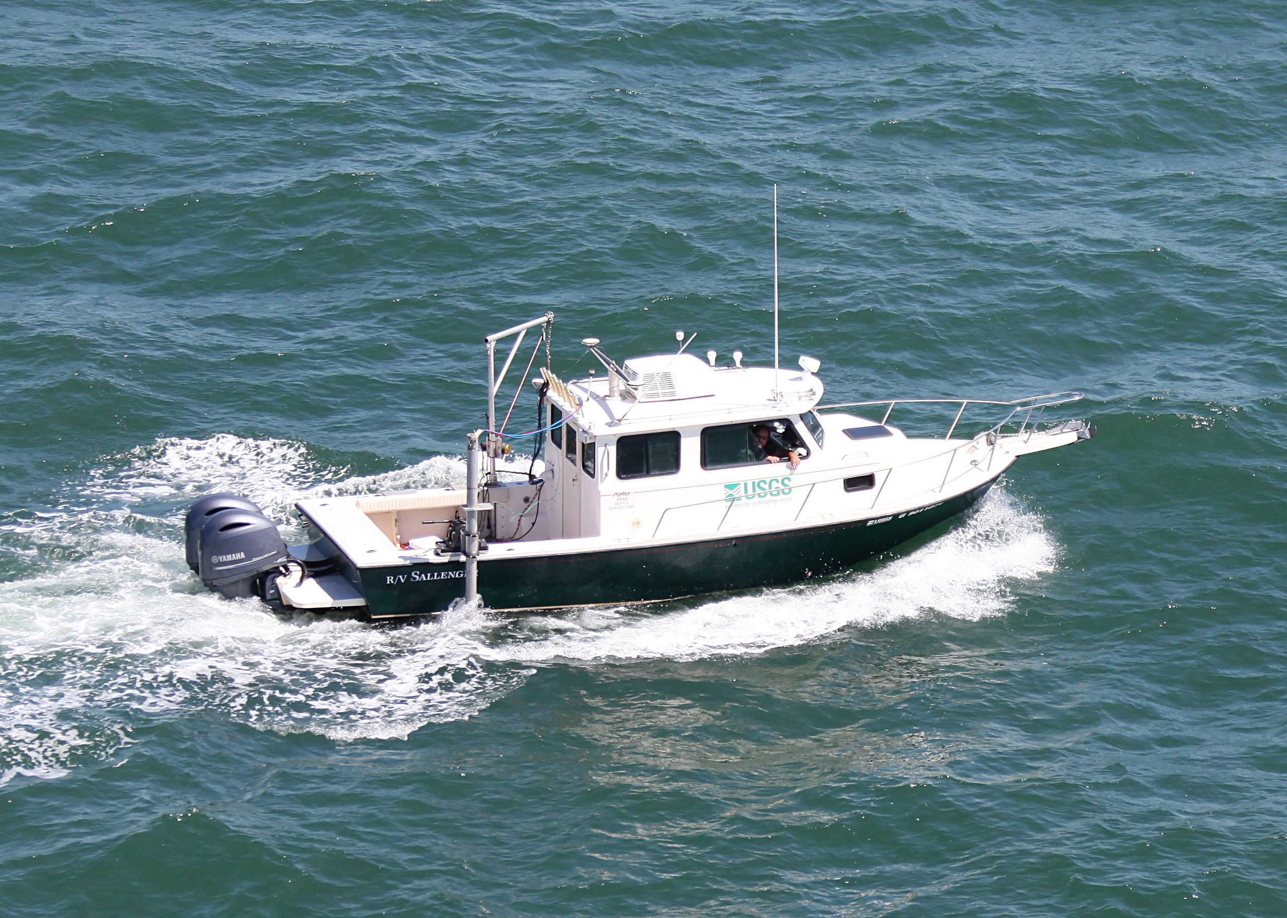
 Sallenger |
| Survey Equipment | Survey Info | Data Type(s) | Data Collected |
|---|---|---|---|
| Bubble Pulser | --- | Bubble Gun | |
| Bubble Pulser Hydrophone Streamer Cable | --- | Bubble Gun | |
| Multibeam Bathymetry System | --- | Multibeam | |
| Valeport SWiFT SVP | --- | Sound Velocity |