Other ID: none
Status: Completed
Organization(s): USGS, St. Petersburg Coastal and Marine Science Center
Funding Program(s): Coral Reef Ecosystems Studies - CREST (GX.22.MN00.E3R50.00)
Principal Investigator(s): Lauren Toth
Affiliate Investigator(s):
Information Specialist(s): Billy Reynolds
Data Type(s): Location-Elevation: Benchmarks, Sampling: Geology
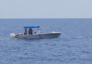
Scientific Purpose/Goals: Collect cores and surface samples of Holocene reef framework from Pulaski shoal in Dry Tortugas National Park.
Vehicle(s): Rental Vehicle, Ford F-350 Dually White (GSA)
Start Port/Location: Key West, FL
End Port/Location: Key West, FL
Start Date: 2017-06-05
End Date: 2017-06-30
Equipment Used: Ashtech Z-Xtreme DGPS, Hydraulic Coring Drill
Information to be Derived: Coral-reef growth rates and composition and estimates of past sea level.
Summary of Activity and Data Gathered: Cores from three locations and coresponding GPS locations/elevations.
Staff: Billy Reynolds, Anastasios Stathakopoulos, Lauren Toth, Hunter Wilcox
Affiliate Staff:
Notes: We were able to reach the Pleistocene on 2 of the 3 core holes.
Location:
Dry Tortugas National Park, FL
| Boundaries | |||
|---|---|---|---|
| North: 24.78766962 | South: 24.46094071 | West: -83.07037354 | East: -82.68444824 |
Platform(s):
 Halimeda | Other |
| Survey Equipment | Survey Info | Data Type(s) | Data Collected |
|---|---|---|---|
| Ashtech Z-Xtreme DGPS | --- | Benchmarks Navigation | |
| Hydraulic Coring Drill | --- | Geology |