Other ID: none
Status: Completed
Organization(s): USGS, St. Petersburg Coastal and Marine Science Center
Funding Program(s): Barrier Island Evolution Research: Coastal Sediment Fluxes (GX.17.MN00.F1F40.00)
Principal Investigator(s): Jennifer Miselis
Affiliate Investigator(s):
Information Specialist(s): Nancy DeWitt, Andrew Farmer, Joseph Fredericks
Data Type(s): Location-Elevation: Benchmarks, Location-Elevation: Navigation, Seismics: Sub Bottom Profiler, Sonar: Multibeam, Sonar: Sound Velocity
Scientific Purpose/Goals: Annual mapping of N. Chandeleurs borrow site to measure sediment fluxes.
Vehicle(s): Ford F-350 Dually White (GSA)
Start Port/Location: Biloxi, MS
End Port/Location: Biloxi, MS
Start Date: 2017-08-07
End Date: 2017-08-16
Equipment Used: Ashtech ProFlex 800 GNSS Receiver, Choke Ring Antenna, Applanix POS-MV DGPS/IMU, Collapsible Tripod, ORE Geopulse, Chirp 424, Multibeam Bathymetry System, Other, Castaway-CTD
Information to be Derived: Multibeam bathymetry using the SeaBat T50-P as a dual head system, seismic profiles, navigation and positioning
Summary of Activity and Data Gathered: Multibeam swath bathymetry (131 lines), Seismic profiles (34 lines), sound velocity profile casts (113 profiles), GPS base station sessions from MRK3 and CTMP (31 sessions day and night)
Staff: Nancy DeWitt, Andrew Farmer, Joseph Fredericks
Affiliate Staff:
Notes:
Location:
Chandeleur Islands, LA
| Boundaries | |||
|---|---|---|---|
| North: 30.1270152 | South: 29.88305196 | West: -88.93432617 | East: -88.70495605 |
Platform(s):
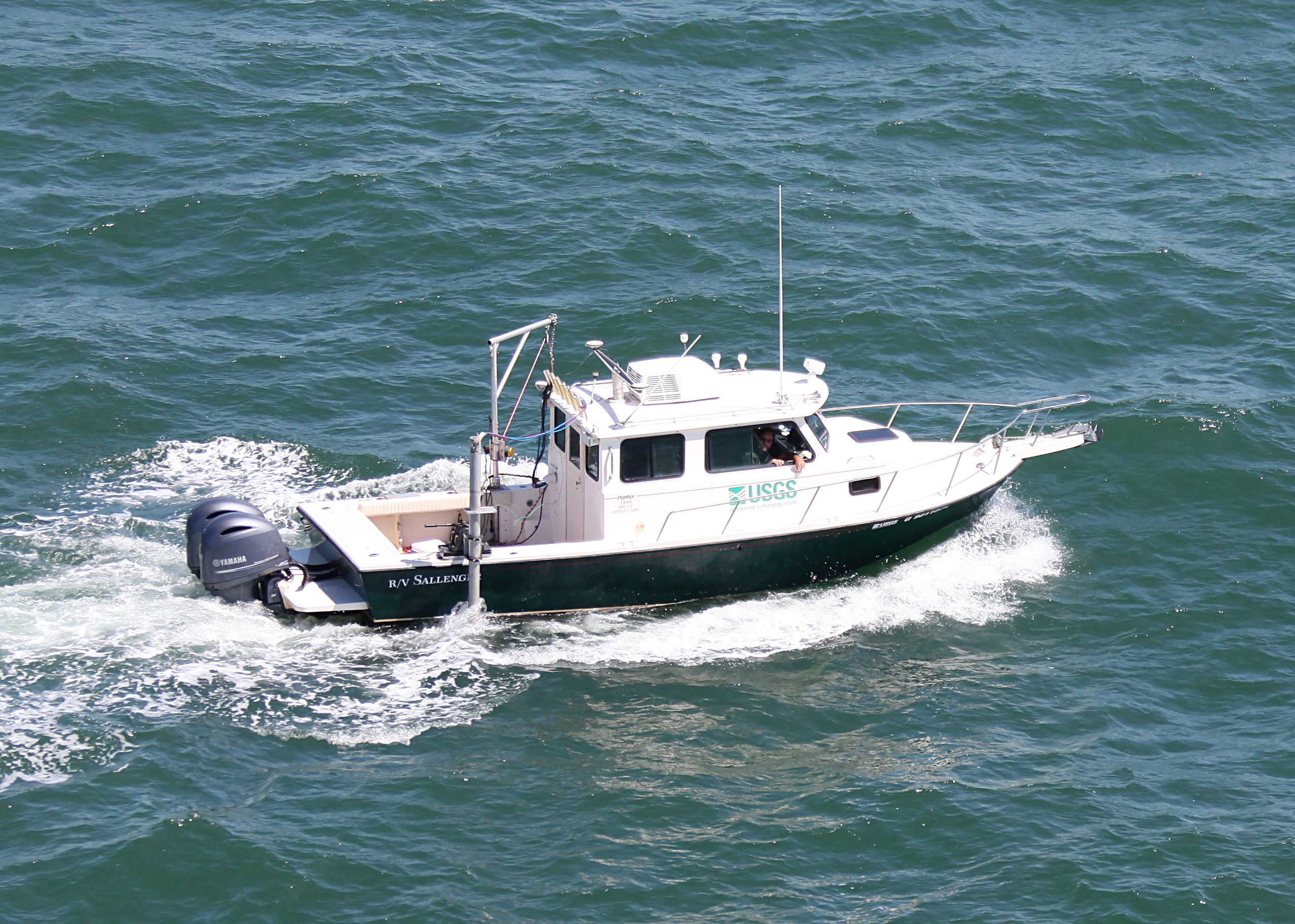
 Sallenger |
Forde, A.S., DeWitt, N.T., Fredericks, J.J., Miselis, J.L., 2018, Archive of chirp subbottom profile data collected in 2017 from the northern Chandeleur Islands, Louisiana: U.S. Geological Survey data release, https://doi.org/10.5066/P9E8VRGO.
Fredericks, J.J., Farmer, A.S., Miselis, J.L., 2019, Coastal multibeam bathymetry data collected in August 2017 From the Chandeleur Islands, Louisiana: U.S. Geological Survey data release, https://doi.org/10.5066/P99KNKAW .
| Survey Equipment | Survey Info | Data Type(s) | Data Collected |
|---|---|---|---|
| Ashtech ProFlex 800 GNSS Receiver | --- | Benchmarks Navigation | |
| Choke Ring Antenna | --- | Benchmarks Navigation | |
| Applanix POS-MV DGPS/IMU | --- | Navigation | |
| Collapsible Tripod | --- | Benchmarks Navigation Profiles Transects | |
| ORE Geopulse | --- | Boomer Sub Bottom Profiler | |
| Chirp 424 | --- | Sub Bottom Profiler | 2017-337-FA_segy.zip (Unprocessed digital chirp subbottom trace data) 2017-337-FA_seisimag.zip (Processed subbottom profile images) 2017-337-FA_arc.zip (Survey trackline locations) 2017-337-FA_nav.zip (2017-337-FA_nav) |
| Multibeam Bathymetry System | --- | Multibeam | Chandeleur_Islands_2017_MBB_xyz.zip (Processed elevation point data (xyz) as derived from a 1-meter grid provided in WGS84 and NAD83, NAVD88 GEOID09) |
| Other | --- | --- | --- |
| Castaway-CTD | --- | Sound Velocity |